
What is recorded here
Kilsalebeg likely occupied the lost castle and mill at Pilltown, where a narrow stream joins the Blackwater estuary. Sir Nicholas Walshe of Ballykeeroge still claimed the battered castle and large bawn in 1640, yet no wall, room or gate remains visible above the soil. The land has taken back what people built there, leaving only water, grass and memory to mark the place.
The location of Kilsalebeg is uncertain but it probably centered on the castle and mill at Pilltown, situated on relatively high overgrown land on the N bank of a NE-SW stream at a point where it emerges onto mud-flats and c. 1.5 km E of the estuary of the Blackwater River. Described as ‘an old battered castle with a large bawn’, the property of Sir Nicholas Walshe of Ballykeeroge (WA023-035001-) in 1640 (Simington 1942, 29). Nothing is visible at ground level. (Bradley et al. 1988, 60-5)
Bradley, J., Halpin, A. and King, H. (1989) Urban archaeology Survey of Waterford City and County, 2 vols. Unpublished report commissioned by the Office of Public Works.
Simington, R. C. (ed.) (1942) The Civil Survey AD 1654-1656, vi, the County of Waterford. Irish Manuscripts Commission. Dublin.
The above description is derived from the published 'Archaeological Inventory of County Waterford' (Dublin: Stationery Office, 1999). In certain instances the entries have been revised and updated in the light of recent research.
Revised by: Michael Moore
Date of upload: 07 October 2011
The monument record does not grant public access. Check the route and ask the landowner before entering private land.
- What survives
- Recorded monument
Places near here
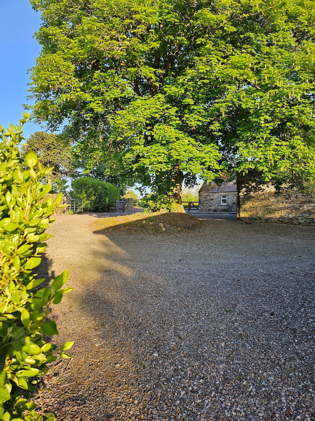 KinsalebegSettlement cluster · 100 yd
 Flour MillMill, unclassified · 112 yd
 R. C. ChapelChurch · 303 yd
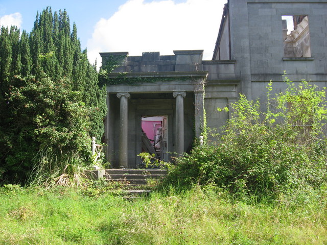 Enclosure in PilltownEnclosure · 740 yd
 Kilmaloo LoughWood · 1.1 mi
 Ferry PointViewpoint · 1.7 mi
 Castle (in ruins)Castle, tower house · 1.8 mi
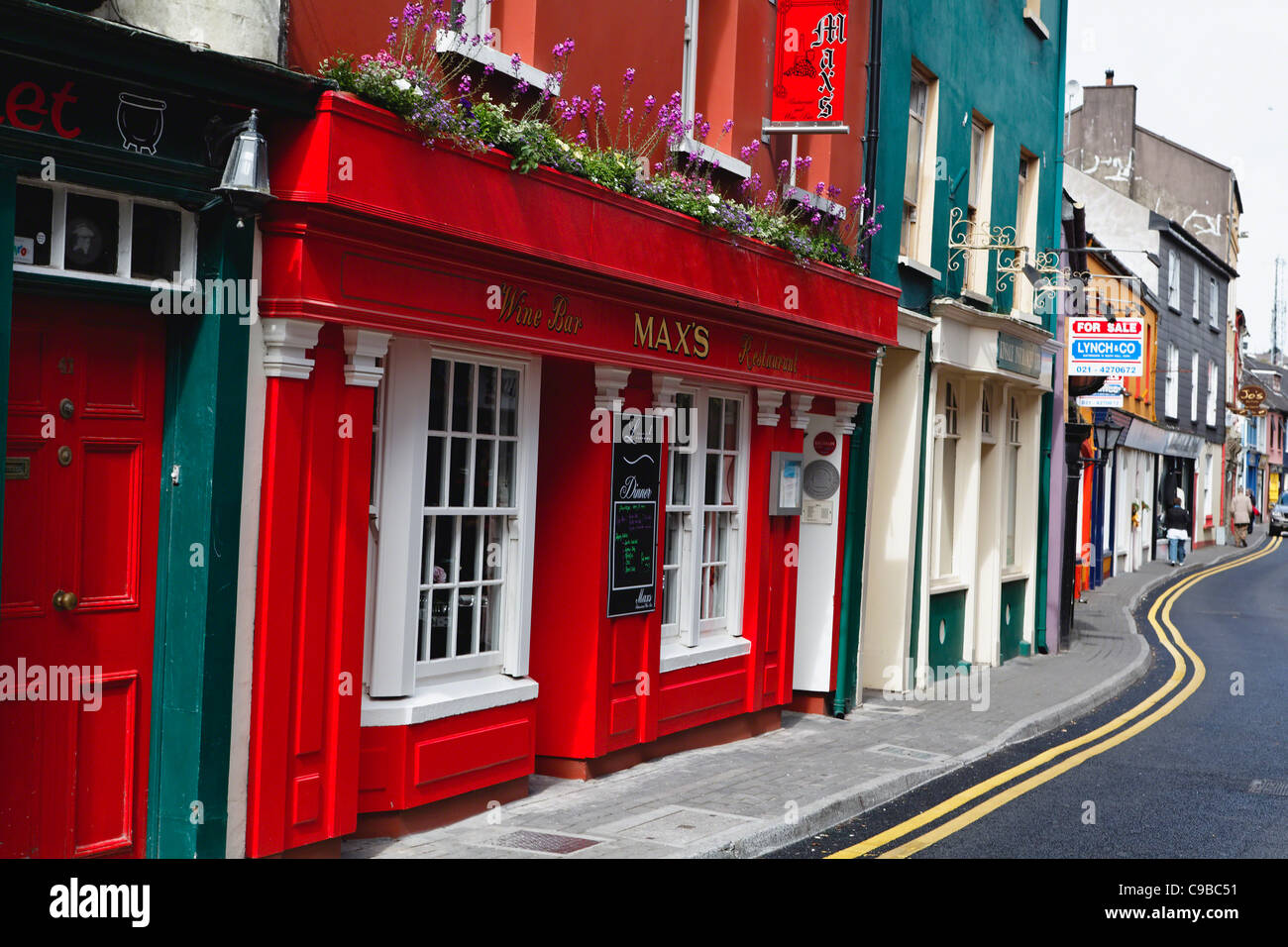 Store Street & New Catherine StreetVisitor information · 1.9 mi
 Youghal Foxhole Loop walkWalking route · 1.9 mi
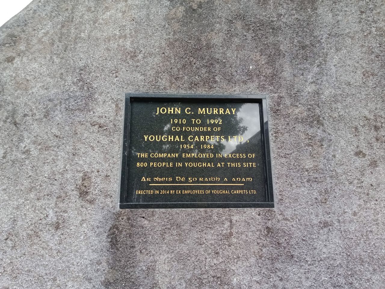 John C. MurrayMemorial · 1.9 mi
 John "Jack" FoleyMemorial · 2.0 mi
 Tynte's CastleCastle · 2.0 mi
Other information
Photo: Credit not shown in the picture search · Rights wording not checked; contact us if this picture should be removed