What is recorded here
In pasture. The enclosure is not indicated on the 1st ed. OS 6-inch map or subsequent revision, however a curvilinear field boundary, curving from W-N-NE, probably indicates the surviving upstanding bank which has become incorporated in a field boundary. A roughly circular enclosure (overall diam. c. 46m) visible on LiDAR imagery (Open Topographic Data View, LiDAR Coverage TII Ireland), identified and reported by Muiris Wade. A field boundary, probably incorporating the bank of the enclosure, survives from W-N-NE. The E-SE-S portion of the bank is defined by a levelled bank or scarp, visible on satellite imagery (Tailte Éireann, 2013 to 2018 MapGenie and 2011-2013 Digital Globe).
In pasture. The enclosure is not indicated on the 1st ed. OS 6-inch map or subsequent revision, however a curvilinear field boundary, curving from W-N-NE, probably indicates the surviving upstanding bank which has become incorporated in a field boundary. A roughly circular enclosure (overall diam. c. 46m) visible on LiDAR imagery (Open Topographic Data View, LiDAR Coverage TII Ireland), identified and reported by…
From the National Monuments Service (Archaeological Survey of Ireland) record WA037-060
The monument record does not grant public access. Check the route and ask the landowner before entering private land.
- What survives
- Recorded monument
Places near here
Photo credits
- National Inventory of Architectural Heritage
- john berry, Geograph · CC BY-SA 2.0
- Oliver Dixon, Geograph · CC BY-SA 2.0
- Jonjobaker, Wikimedia Commons · CC BY-SA 4.0
- Robert Ashby, Geograph · CC BY-SA 2.0
- Will McGoldrick, Wikimedia Commons · CC BY-SA 3.0
- Sitomon, Wikimedia Commons · CC BY-SA 2.0
KinsalebegSettlement cluster · 658 ydSite of CastleCastle, unclassified · 740 ydSt. Bartholomews WellHoly well · 1521 yd The FarmhouseFarm house · 1.4 miWoodbine HillGates/railings/walls · 1.5 miFerry PointViewpoint · 2.1 miWhiting BayBeach / strand · 2.2 miTynte's CastleCastle · 2.4 miClock TowerVisitor information · 2.4 miYoughal Clock TowerHeritage attraction · 2.4 miEuropean Yew2.5 miEuropean Yew2.5 mi
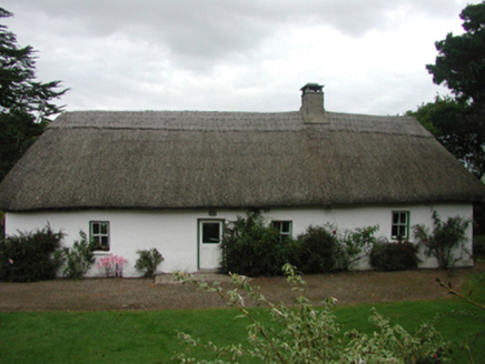 The FarmhouseFarm house · 1.4 mi
 Woodbine HillGates/railings/walls · 1.5 mi
 Ferry PointViewpoint · 2.1 mi
 Whiting BayBeach / strand · 2.2 mi
 Tynte's CastleCastle · 2.4 mi
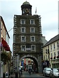 Clock TowerVisitor information · 2.4 mi
 Youghal Clock TowerHeritage attraction · 2.4 mi
 European Yew2.5 miEuropean Yew2.5 mi
More archaeology and monuments in County Waterford · All of County Waterford
What do you know about this place?