What is recorded here
Situated on low-lying ground at the E edge of the Blackwater estuary. A rectangular court (dims. 4.5m E-W; 2.5m N-S) defined by stone slabs can fill with sea-water when the tide comes in. The well is one source of a network of streams that meander off to join the Blackwater c. 1.6km to the NW. The well is a rectangular recess (Wth 0.7m; H 0.8m; D 0.4m) within the masonry wall at the E edge of the court. Patterns were held here on August 24th until 1812, according to J. O'Donovan writing c. 1840 (O’Flanagan 1929, 81). According to FitzGerald (1856, 42) there was a rag-tree present, which does not survive. The well might still be venerated as it is maintained, but no offerings are present. FitzGerald, E. (1856-7) Proceedings – “Jottings in archaeology”, JRSAI 4, 40-49, 289-91. O’Flanagan, M. (Compiler) (1929) Letters containing information relative to the antiquities of the county of Waterford collected during the progress of the Ordnance Survey in 1841. Typescript. Bray. Revised by: Michael Moore
Date of upload: 07 October 2011
Situated on low-lying ground at the E edge of the Blackwater estuary. A rectangular court (dims. 4.5m E-W; 2.5m N-S) defined by stone slabs can fill with sea-water when the tide comes in. The well is one source of a network of streams that meander off to join the Blackwater c. 1.6km to the NW. The well is a rectangular recess (Wth 0.7m; H 0.8m; D 0.4m) within the masonry wall at the E edge of the court. Patterns…
From the National Monuments Service (Archaeological Survey of Ireland) record WA037-031
The monument record does not grant public access. Check the route and ask the landowner before entering private land.
- What survives
- Recorded monument
Places near here
Photo credits
- National Inventory of Architectural Heritage
- john berry, Geograph · CC BY-SA 2.0
- Oliver Dixon, Geograph · CC BY-SA 2.0
- Robert Ashby, Geograph · CC BY-SA 2.0
- Will McGoldrick, Wikimedia Commons · CC BY-SA 3.0
- Jonjobaker, Wikimedia Commons · CC BY-SA 4.0
- Sitomon, Wikimedia Commons · CC BY-SA 2.0
- The Speckled Bird, Wikimedia Commons · CC BY-SA 4.0
Site of CastleCastle, unclassified · 1003 yd Woodbine HillGates/railings/walls · 1086 ydThe FarmhouseFarm house · 1106 ydFerry PointViewpoint · 1.5 miWhiting BayBeach / strand · 1.6 miCaliso BayBeach / strand · 1.6 miClock TowerVisitor information · 1.8 miYoughal Clock TowerHeritage attraction · 1.9 miTynte's CastleCastle · 1.9 miEuropean Yew2.0 miEuropean Yew2.0 miCollegiate Church of Saint MaryHeritage attraction · 2.1 mi
 Woodbine HillGates/railings/walls · 1086 yd
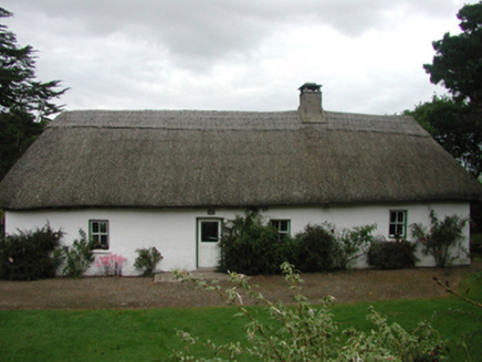 The FarmhouseFarm house · 1106 yd
 Ferry PointViewpoint · 1.5 mi
 Whiting BayBeach / strand · 1.6 mi
 Caliso BayBeach / strand · 1.6 mi
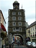 Clock TowerVisitor information · 1.8 mi
 Youghal Clock TowerHeritage attraction · 1.9 mi
 Tynte's CastleCastle · 1.9 mi
 European Yew2.0 miEuropean Yew2.0 mi
 Collegiate Church of Saint MaryHeritage attraction · 2.1 mi
More archaeology and monuments in County Waterford · All of County Waterford
What do you know about this place?