
What is recorded here
Described as St Nicholas' Well on the 1840 and 1926 eds of the OS 6-inch map, it is situated on the S bank of a wide and deep W-E stream, c. 70m W of where the stream meets a larger S-N stream. The well had been surrounded by a wall until 1841 when it was swept away in a torrent, according to J. O' Donovan (O'Flanagan 1929, 45). A pattern had been held at the well on December 6th until c. 1830 when it was abolished, but the well was still venerated at the end of the century (Power 1898, 200). No evidence of a well survives now.
O’Flanagan, M. (Compiler) (1929) Letters containing information relative to the antiquities of the county of Waterford collected during the progress of the Ordnance Survey in 1841. Typescript. Bray.
Power, Rev. P. (1898a) Ancient ruined churches of Co. Waterford, WAJ 4, 83-95, 195-219.
Date of upload: 6th October, 2011
Compiled by: Michael Moore
St Nicholas' Well is associated with St Nicholas of Myra, a widely venerated early Christian bishop known for acts of charity and miracles, and traditionally linked with healing and protection. The well was likely used for ritual washing and was a site of pilgrimage, with devotees seeking cures for ailments and general blessings.
The monument record does not grant public access. Check the route and ask the landowner before entering private land.
- What survives
- Recorded monument
Places near here
 MoteMound · 73 yd
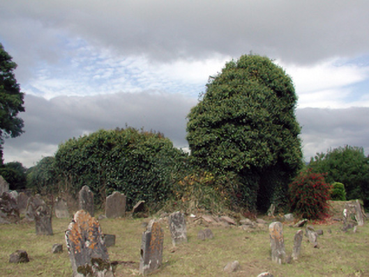 Saint Nicholas's Church (Ringagonagh)graveyard/cemetery · 87 yd
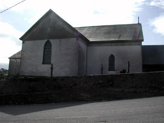 Séipéal San Niocláis [Saint Nicholas's Catholic Church]church/chapel · 494 yd
 Settlement cluster in Gort Na Duimhche Íochtarach,gort Na Duimhche UachtarachSettlement cluster · 1070 yd
 Erin's Hope 1867Memorial · 1.6 mi
 Tobar Uí GríobtháinSpring · 1.8 mi
 Ceann HeilbhicHeadland · 2.0 mi
 Cunnigar PointHeadland · 2.7 mi
 Dungarvan World War I MemorialMemorial · 3.1 mi
 Dungarvan Castle (in Ruins)Castle, Anglo-Norman masonry castle · 3.1 mi
 Dungarvan CastleCastle · 3.1 mi
 Waterford County MuseumMuseum · 3.1 mi
Other information
Photo: Credit not shown in the picture search · Rights wording not checked; contact us if this picture should be removed