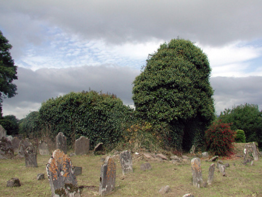
What is recorded here
Graveyard with various cut-stone and cast-iron grave markers, c.1740 - 1962. Set on slightly elevated site with section of unpainted rendered boundary wall to perimeter of site.(ii) Remains of detached three-bay single-storey rubble stone single-cell Church of Ireland church, c.1740, to east. In use, 1926. Now in ruins. Pitched roof now gone. Random rubble stone walls now ivy-clad. Openings not visible.
A picturesque graveyard forming an appealing landmark in the centre of An Rinn [Ringville]. The various markers to the burial plots enhance the artistic design distinction of the site, representing high quality craftsmanship, while some models represent good examples of early-surviving iron work. The remains of a church on site are of interest as evidence of the once-prosperous Church of Ireland community in the locality.
This does not grant access. Most recorded buildings are privately owned; view them only from public ground unless the owner allows entry.
Places near here
 St Nicholas WellHoly well · 87 yd
 MoteMound · 155 yd
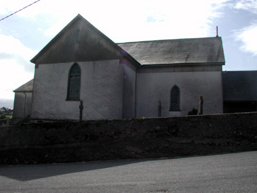 Séipéal San Niocláis [Saint Nicholas's Catholic Church]church/chapel · 409 yd
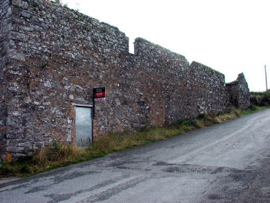 outbuildingoutbuilding · 545 yd
 Erin's Hope 1867Memorial · 1.7 mi
 Tobar Uí GríobtháinSpring · 1.8 mi
 Ceann HeilbhicHeadland · 2.0 mi
 Cunnigar PointHeadland · 2.8 mi
 Dungarvan World War I MemorialMemorial · 3.1 mi
 Dungarvan Castle (in Ruins)Castle, Anglo-Norman masonry castle · 3.1 mi
 Dungarvan CastleCastle · 3.1 mi
 Waterford County MuseumMuseum · 3.1 mi
Other information
Photo: National Inventory of Architectural Heritage · Website use allowed for educational or private purposes with source credit