
What is recorded here
Depicted as a small mound (diam. c. 15m) described as a 'Moat' on the 1840 ed. of the OS 6-inch map, and as the site of a Mote on the 1926 ed. It gave the name Móta to the townland, which is recorded in the Civil Survey (1654-6) (Simington 1942, 50). Situated at the E end of a small E-W ridge in an area overgrown with scrub and c. 160m from the S shore of Dungarvan Harbour. A small quarry (dims. of base 6.5m N-S; 16m E-W; max. D 1.5m) with upcast is on the site. Shanacloon church (WA036-008601-) is c. 140m to the SW.
Simington, R. C. (ed.) (1942) The Civil Survey AD 1654-1656, vi, the County of Waterford. Irish Manuscripts Commission. Dublin.
The above description is derived from the published 'Archaeological Inventory of County Waterford' (Dublin: Stationery Office, 1999). In certain instances the entries have been revised and updated in the light of recent research.
Date of upload/revision: 6th October, 2011
Compiled by: Michael Moore
A possible early medieval ringfort, indicated by its circular form and the term 'Mote,' suggesting a defensive or habitation site. Its local significance is reflected in the naming of the townland.
The monument record does not grant public access. Check the route and ask the landowner before entering private land.
- What survives
- Recorded monument
Places near here
 St Nicholas WellHoly well · 73 yd
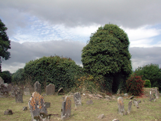 Saint Nicholas's Church (Ringagonagh)graveyard/cemetery · 155 yd
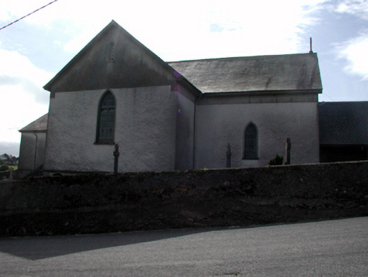 Séipéal San Niocláis [Saint Nicholas's Catholic Church]church/chapel · 564 yd
 Settlement cluster in Gort Na Duimhche Íochtarach,gort Na Duimhche UachtarachSettlement cluster · 1095 yd
 Erin's Hope 1867Memorial · 1.6 mi
 Tobar Uí GríobtháinSpring · 1.8 mi
 Ceann HeilbhicHeadland · 2.0 mi
 Cunnigar PointHeadland · 2.7 mi
 Dungarvan World War I MemorialMemorial · 3.1 mi
 Dungarvan Castle (in Ruins)Castle, Anglo-Norman masonry castle · 3.1 mi
 Dungarvan CastleCastle · 3.1 mi
 Waterford County MuseumMuseum · 3.1 mi
Other information
Photo: Credit not shown in the picture search · Rights wording not checked; contact us if this picture should be removed