
What is recorded here
Located at the bottom of a S-facing slope, and marked only on the 1927 ed. of the OS 6-inch map. It was known as Tobar an Turais - the well of the journey, and may have been associated with the church of Okyle (WA029-030----), c. 700m to the SW. It is not visible at ground level. (Power 1898a, 218)
Power, Rev. P. (1898a) Ancient ruined churches of Co. Waterford, WAJ 4, 83-95, 195-219.
Compiled by: Michael Moore
Date of upload: 10 August 2011
Tobar a Turais, known as "the well of the journey," is traditionally associated with Saint Ita and was likely used by pilgrims traveling to her major shrine at Okyle. The name suggests its function as a waymark or place of refreshment on a spiritual or physical journey.
The monument record does not grant public access. Check the route and ask the landowner before entering private land.
- What survives
- Recorded monument
Places near here
 IndicatedEnclosure · 748 yd
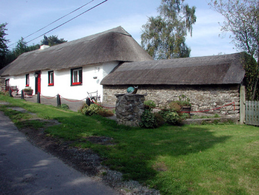 The Old Forgehouse · 883 yd
 Camphire Housecountry house · 980 yd
 CastleCastle, tower house · 997 yd
 (Site of) CastleCastle, tower house · 1.1 mi
 Enclosure in DeerparkhillEnclosure · 1.5 mi
 Dromona HillMountain / peak · 1.6 mi
 Deerpark WoodWood · 1.7 mi
 London PlaneLondon Plane · 1.9 mi
 Lady Louisa's WalkWalking route · 3.9 mi
 Ambrose Power MemorialMemorial · 3.9 mi
 LismoreMemorial · 4.0 mi
Other information
Photo: Credit not shown in the picture search · Rights wording not checked; contact us if this picture should be removed