
What is recorded here
Marked as a D-shaped graveyard (dims. c. 35m N-S; c. 40m E-W) with the straight edge at the W on the 1840 ed. of the OS 6-inch map, and situated in pasture on the S bank of the SE-NW Goish River, c. 1km E from its confluence with the River Blackwater and c. 60-100m from the river bank. This is a later prehistoric or Early Christian cemetery comprising a circular grass-covered area (diam. 34m E-W; 32m N-S) defined by a slight stone bank (Wth 2.7m; int. H 0.3m; ext. H 0.6m) SW-NW, a low external scarp (H 0.2m) NW-E, and a scarp down to the interior (H 0.2m) E-SW. There is a notable mound (diam. 5m; H 0.0.2-0.6m) on the perimeter at NE. There is no fosse or recognisable entrance.
The interior of the site, but not the perimeter, was investigated by R.A.S.Macalister (1935b), and the earliest features were two nearly parallel trenches or ditches (Wth c. 1.5m; D c. 0.7m) c. 6m apart, perhaps forming an enclosure (WA029-042007-) with a different centre to the visible enclosure. A large pit with iron slag (WA029-042008-) (diam. c. 3m; D c. 2.4m) in the interior might be recent. The ditches were overlaid by stony soils containing 52 inhumations, some possibly crouched, but most were extended with the head at W. At the W side of the enclosure the burials were overlaid by a stone-faced wall (Wth c. 1m; L c. 36m) with a stone-lined entrance (Wth c. 1m) which is the W edge of the enclosure on the 1840 map. The entrance through this wall was mistaken by Brash (1872-9, 4) for a cist (WA029-042005-), but there was no evidence of a church (WA029-042001-). Two ogham stones (WA029-042003-; WA029-042006-) that are built into this wall, and two fragments of ogham stones (WA021-042010-; WA029-042011-) found in excavation by MacAlister (ibid. 8) that are now in NMI were probably originally grave-markers from the cemetery. (Brash 1872-9; Power 1909; Harbison 1992b, 326)
Brash, R. R. (1872-9) On an ogham inscribed stone at Kiltera, Co. Waterford. PRIA 15c, 4-7.
Macalister, R. A. S. (1935b) The excavation of Kiltera, Co. Waterford. PRIA 43 C, 1-16.
Power, Rev. P. (1909b) Another ogham discovery in Co. Waterford. WAJ, vol. 12, 76-8.
Harbison, P. (1992b) Guide to the national and historic monuments of Ireland. Gill and Macmillan Ltd., Dublin.
The above description is derived from the published 'Archaeological Inventory of County Waterford' (Dublin: Stationery Office, 1999). In certain instances the entries have been revised and updated in the light of recent research.
Revised by: Michael Moore
Date of upload: 14 November 2011
The monument record does not grant public access. Check the route and ask the landowner before entering private land.
- What survives
- Recorded monument
Places near here
 Ogham StonesOgham stone · 24 yd
 Dromore WoodWood · 781 yd
 Ballynacourty Househouse · 1014 yd
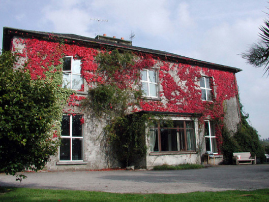 Aglish Househouse · 1552 yd
 Cross in Aglish (decies Within Drum By.)Cross · 1.1 mi
 CastleCastle, tower house · 1.3 mi
 Dromona HillMountain / peak · 1.7 mi
 Bishopstown WoodForest · 4.3 mi
 Lady Louisa's WalkWalking route · 5.6 mi
 Ambrose Power MemorialMemorial · 5.7 mi
 LismoreMemorial · 5.8 mi
 Lismore Castlefarm house · 6.0 mi
Other information
Photo: Credit not shown in the picture search · Rights wording not checked; contact us if this picture should be removed