
What is recorded here
Situated towards the head of a flat-bottomed N-S valley, with an E-W stream c. 40m to the S. This is a natural spring, now overgrown, where a pattern was formerly held on August 15th, according to J. O'Donovan writing c. 1840 (O’Flanagan 1929, 79). It is not frequented now.
O’Flanagan, M. (Compiler) (1929) Letters containing information relative to the antiquities of the county of Waterford collected during the progress of the Ordnance Survey in 1841. Typescript. Bray.
The above description is derived from the published 'Archaeological Inventory of County Waterford' (Dublin: Stationery Office, 1999). In certain instances the entries have been revised and updated in the light of recent research.
Date of upload/revision: 10th October, 2011
Compiled by: Michael Moore
Linked to a pattern day held on August 15th, the well is traditionally associated with Saint Mary and may have been a site of seasonal pilgrimage or communal celebration. Such August festivals often coincided with Lammas or were connected to Marian devotion in rural Irish tradition.
The monument record does not grant public access. Check the route and ask the landowner before entering private land.
- What survives
- Recorded monument
Places near here
 Garrane FortFairy fort / ringfort · 689 yd
 Church (in ruins)Church · 1154 yd
 IndicatedRoad, road/trackway · 1408 yd
 Ardmore Open FarmHeritage attraction · 1431 yd
 Fulacht fia in MoneaFulacht fia · 1620 yd
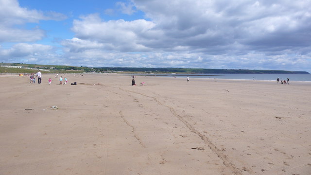 Ardmore BeachBeach / strand · 1.6 mi
 Curragh/Pebble BeachBeach / strand · 1.6 mi
 Ardmore Round TowerMedieval round tower · 1.8 mi
 Baile StairiúilVisitor information · 2.1 mi
 Cabin PointHeadland · 3.0 mi
 Kilmaloo LoughWood · 3.3 mi
 Castle (in ruins)Castle, tower house · 3.8 mi
Other information
Photo: Credit not shown in the picture search · Rights wording not checked; contact us if this picture should be removed