
What is recorded here
According to Power (1905) an ancient route (WA029-045----) could be traced between Lismore and Ardmore, mostly through country lanes and farm tracks, but it could not be traced from a point NE of Grange church (WA038-026002-) for a distance of c. 1.7 km, but it resumes in Ballynamertinagh as a farm track (L c. 900m). Then it follows a public road between Monea and Duffcarrick (L c. 1.6 km), where it was known as 'Bóthar na Trínse - the trench road, to the cathedral church of Ardmore (WA040-008002-). (Power 1905, 125)
Power, Rev. P. (1905) The Rian bó Phadruig (the ancient highway of the Decies) JRSAI 35, 110-29.
Date of upload: 10th October, 2011
Compiled by: Michael Moore
The monument record does not grant public access. Check the route and ask the landowner before entering private land.
- What survives
- Recorded monument
Places near here
 Fulacht fia in MoneaFulacht fia · 457 yd
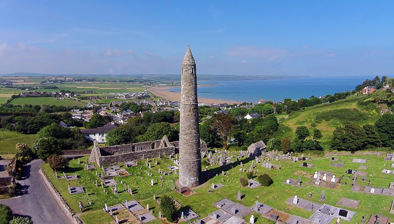 Embanked enclosureFairy fort / earthen ringfort · 827 yd
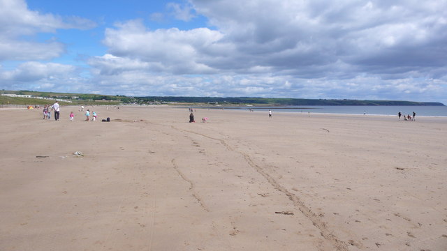 Ardmore BeachBeach / strand · 1391 yd
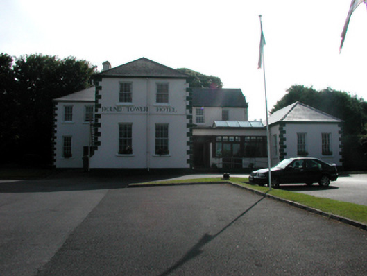 convent/nunneryconvent/nunnery · 1698 yd
 Rosevillehouse · 1706 yd
 Curragh/Pebble BeachBeach / strand · 1.0 mi
 Ardmore Round TowerMedieval round tower · 1.1 mi
 Baile StairiúilVisitor information · 1.3 mi
 Ardmore Cliff WalkWalking route · 1.4 mi
 Cabin PointHeadland · 3.1 mi
 Site of CastleCastle, unclassified · 3.5 mi
 Kilmaloo LoughWood · 4.0 mi
Other information
Photo: Credit not shown in the picture search · Rights wording not checked; contact us if this picture should be removed