
What is recorded here
It was identified in testing (08E0968) during the development of a Waste Water Treatment facility an dfully excavated under the same licence. A thin spread of burnt mound material is associated with a circular, flat-bottomed trough (dims. 2m x 1.88m; D 0.6m) and produced a C14 date of cal. 2198-2031 BC. There was a hearth (dims. 1.3m x 1m; D 0.07m), and two pits (dims. 1.7m x 1.27m; D 0.31m: 2.6m x 1.3m; D 0.24m) nearby, but a larger oval pit (dims. 1.82m x 1.6m; D 0.95m) that produced charred remains of oak and hawthorn was c. 7m to the SE. The kiln (WA038-065002-) is c. 20m to the NW. (Bayley and O'Mahony 2010)
Bayley, D. and O'Mahony, C. (2010) Final report on the archaeological excavation of a site at Monea, Ardmore, Co. Waterford as part of the Waterford grouped towns and villages sewerage scheme. (08E0968) Unpublished report. DEHLG. Irish Archaeological Consultancy
Date of upload: 10th October, 2011
Compiled by: Michael Moore
The monument record does not grant public access. Check the route and ask the landowner before entering private land.
- What survives
- Recorded monument
Places near here
 IndicatedRoad, road/trackway · 457 yd
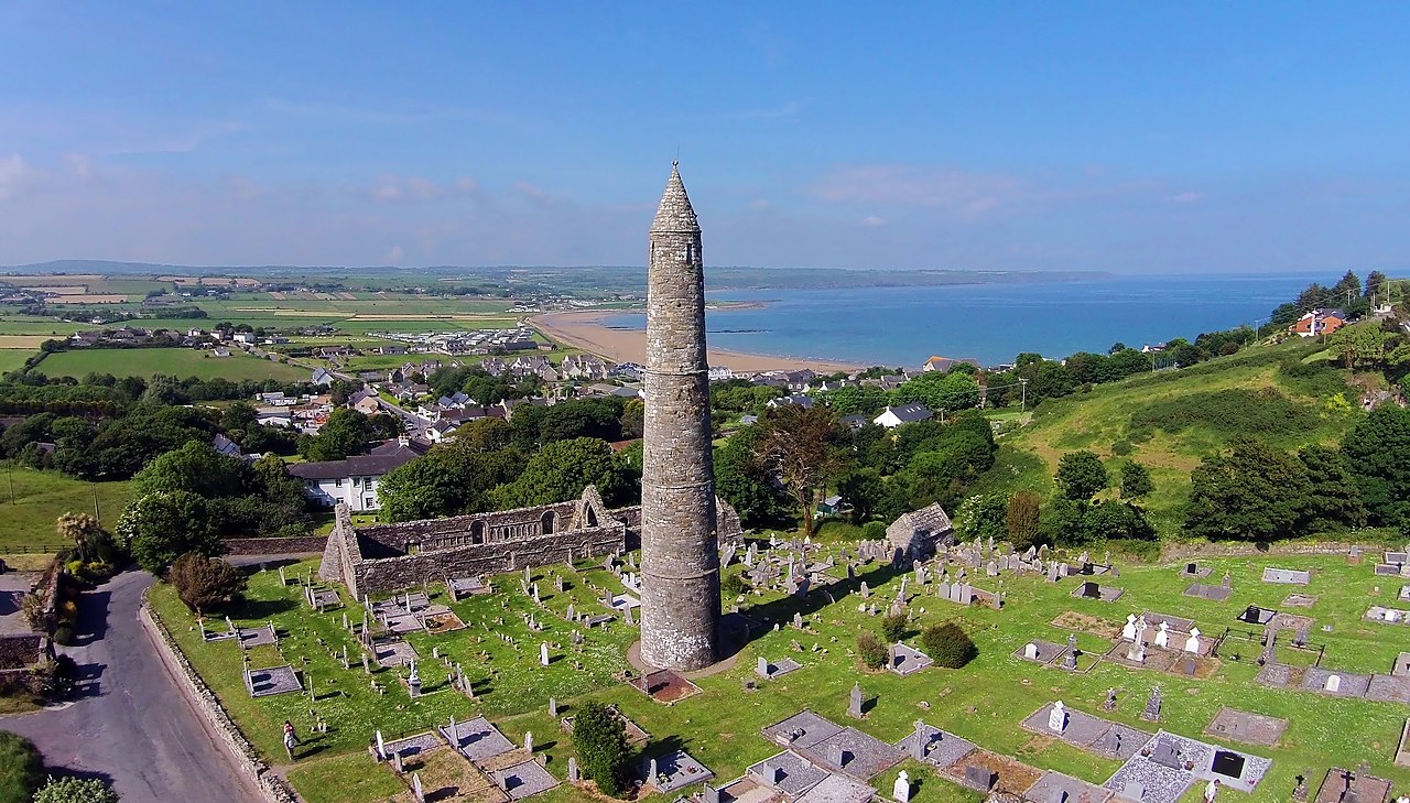 Embanked enclosureFairy fort / earthen ringfort · 1218 yd
 Enclosure in Ballynamona (decies Within Drum By.)Enclosure · 1238 yd
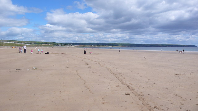 Ardmore BeachBeach / strand · 1294 yd
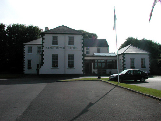 convent/nunneryconvent/nunnery · 1363 yd
 Ardmore Round TowerMedieval round tower · 1600 yd
 Curragh/Pebble BeachBeach / strand · 1.2 mi
 Baile StairiúilVisitor information · 1.2 mi
 Ardmore Cliff WalkWalking route · 1.3 mi
 Cabin PointHeadland · 2.9 mi
 Kilmaloo LoughWood · 4.0 mi
 Ferry PointViewpoint · 4.5 mi
Other information
Photo: Credit not shown in the picture search · Rights wording not checked; contact us if this picture should be removed