
What is recorded here
Located at the bottom of a N-facing slope. The cropmark of a circular area (int. diam. c. 40m) defined by a wide fosse (Wth c. 5-10m) is visible in a root crop on digital aerial photographs (WA040-023_1 to _8) taken in 2005.
Compiled by: Michael Moore
Date of upload: 20 Octiber, 2011
The monument record does not grant public access. Check the route and ask the landowner before entering private land.
- What survives
- Recorded monument
Places near here
 mausoleummausoleum · 1120 yd
 Mound in FarrangarretMound · 1187 yd
 Man-made underground passage in ArdoginnaMan-made underground passage · 1202 yd
 Ardoginna Housecountry house · 1364 yd
 Goat Island beachBeach / strand · 1455 yd
 Ardmore Round TowerMedieval round tower · 1559 yd
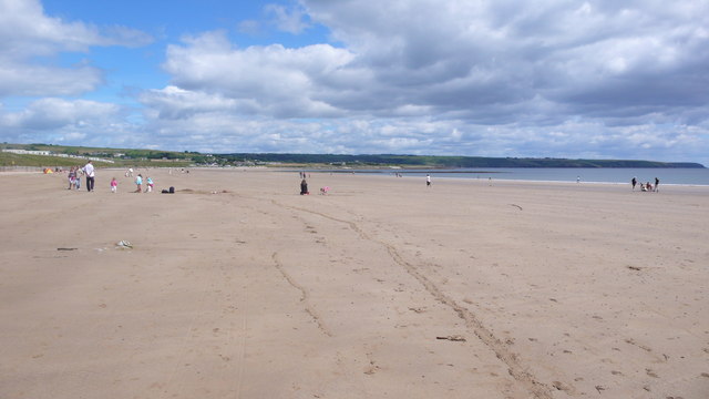 Ardmore BeachBeach / strand · 1.1 mi
 Ardmore Open FarmHeritage attraction · 1.3 mi
 Baile StairiúilVisitor information · 1.4 mi
 Cabin PointHeadland · 2.3 mi
 Kilmaloo LoughWood · 3.9 mi
 Ferry PointViewpoint · 4.0 mi
Other information
Photo: Credit not shown in the picture search · Rights wording not checked; contact us if this picture should be removed