
What is recorded here
Located on a slight rise on a S-facing slope. This is an early ecclesiastical site and the parish church of Lisgennan, or Grange, within a rectangular graveyard (dims. c. 65m E-W; c. 40-50m N-S) defined by earthen banks, stone-clad on the roadside at S. This is a nave (int. dims. 13m E-W; 6.2m N-S) and chancel (int. dims. 6m E-W; 6.2m N-S) church, of which only fragments of the N, S and E chancel walls survive. Elsewhere the walls are reduced to grass-covered foundations. There is an aumbry in the E chancel wall and the remains of window embrasures in the E and S chancel walls. An ogham stone (WA038-026003-) was re-erected at the W edge of the graveyard and there are three pieces of window tracery within the graveyard. There was a holy well (WA038-054----) in the field S of the church were a pattern was held on the 15th August, but its location is now unknown. Archaeological testing (07E0408) in the vicinity failed to produce any related material (O'Carroll 2010). (Power 1898a, 196-7)
Power, Rev. P. (1898a) Ancient ruined churches of Co. Waterford, WAJ 4, 83-95, 195-219.
O’Carroll, M.. (2010) Bawnagarrane. No archaeological significance. in I. Bennett (Ed.) Excavations 2007: summary accounts of excavations in Ireland, 510, No. 1797. Wordwell. Dublin.
The above description is derived from the published 'Archaeological Inventory of County Waterford' (Dublin: Stationery Office, 1999). In certain instances the entries have been revised and updated in the light of recent research.
Date of upload/revision: 10th October, 2011
Compiled by: Michael Moore
The monument record does not grant public access. Check the route and ask the landowner before entering private land.
- What survives
- Recorded monument
Places near here
 Embanked enclosureFairy fort / earthen ringfort · 787 yd
 Garrane FortFairy fort / ringfort · 867 yd
 Catholic Church of Our Lady of the Assumptionchurch/chapel · 1382 yd
 Ardmore Open FarmHeritage attraction · 1495 yd
 RoadRoad, road/trackway · 1.1 mi
 Curragh/Pebble BeachBeach / strand · 2.2 mi
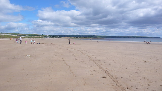 Ardmore BeachBeach / strand · 2.2 mi
 Kilmaloo LoughWood · 2.8 mi
 Cabin PointHeadland · 3.2 mi
 Castle (in ruins)Castle, tower house · 3.2 mi
 Clashmore Heritage CentreHeritage attraction · 3.5 mi
 Ferry PointViewpoint · 4.1 mi
Other information
Photo: Credit not shown in the picture search · Rights wording not checked; contact us if this picture should be removed