
What is recorded here
Marked as 'St Carthag's Well' on the 1840 ed. of the OS 6-inch map, and as St. Mocolomog's Well on the 1927 ed. Situated in mixed woodland towards the top of a steep SW-facing slope on the N side of the valley of the E-W Glenakeefe River close to where it meets the N-S Glounagad Stream. This is a natural spring surrounded on three sides by a masonry wall. Visitations were made at Easter until c. 1980.
The above description is derived from the published 'Archaeological Inventory of County Waterford' (Dublin: Stationery Office, 1999). In certain instances the entries have been revised and updated in the light of recent research.
Revised by: Michael Moore
Date of upload: 21 February 2011
St. Carthag's Well is associated with the early Irish saint Carthag, venerated for his healing miracles, particularly for curing eye ailments and skin conditions. The name change on maps to St. Mocolomog's Well may reflect a later local tradition or confusion with another regional saint, though the original dedication to Carthag suggests an ancient Christian pilgrimage site.
The monument record does not grant public access. Check the route and ask the landowner before entering private land.
- What survives
- Recorded monument
Places near here
 Glenshask WoodsWood · 308 yd
 Glengarra National Schoolschool, house · 893 yd
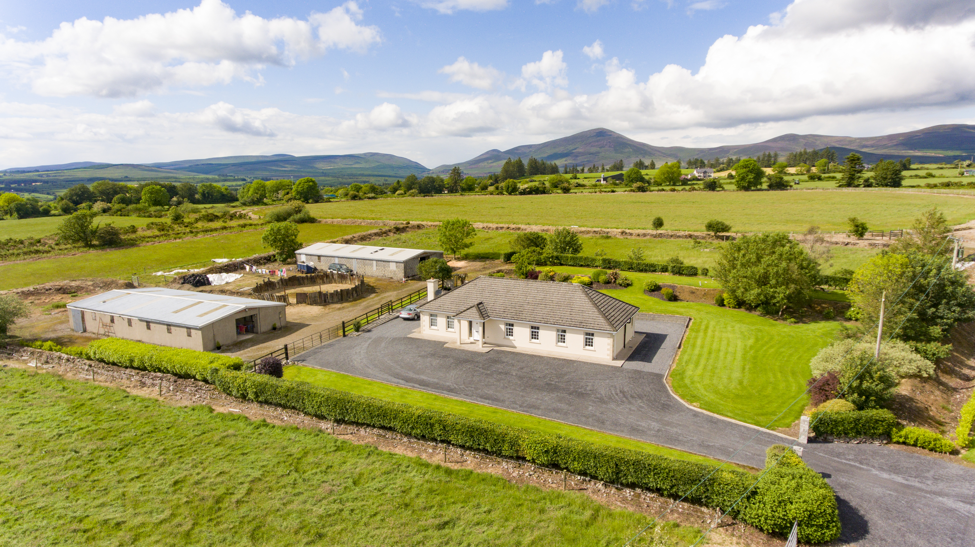 Cooladalane WoodsWood · 940 yd
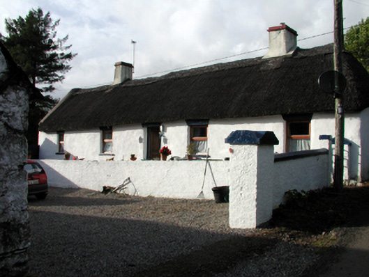 Candy Cottagefarm house · 1059 yd
 Cottage IslandIslet · 1.8 mi
 CathedralCathedral · 2.0 mi
 Lady Louisa's WalkWalking route · 2.0 mi
 Lismore Castlefarm house · 2.1 mi
 Holy well in Lismore (coshmore and Coshbride By.)Holy well · 2.1 mi
 Ballysaggartmore TowersHeritage attraction · 2.1 mi
 LismoreCastle, motte and bailey · 2.2 mi
 Ambrose Power MemorialMemorial · 2.2 mi
Other information
Photo: Credit not shown in the picture search · Rights wording not checked; contact us if this picture should be removed