
What is recorded here
Situated on a natural hill overlooking the floodplain of the W-E Blackwater River with the stream c. 150m to the N. The motte is a flat-topped mound (diam. of top 13m; diam. of base 40m; H 7.5m at S to 10m at SW) with a subrectangular bailey (dims. 34m N-S; 19.5m E-W at N to 10m E-W at S) attached to the S. The bailey is raised 5m over a flat-bottomed fosse (Wth of base c. 3m; ext. D 1.7m). Both are surrounded by an earthen bank (Wth c. 7m; max. ext. H 5m) except at E where there is a natural cliff-edge (Anon. 1897, 271-2). It is planted with deciduous trees.
Anon. (1897) Proceedings, JRSAI 27, 270-72.
The above description is derived from the published 'Archaeological Inventory of County Waterford' (Dublin: Stationery Office, 1999). In certain instances the entries have been revised and updated in the light of recent research.
Date of upload: 23 December 2008
Built by the Fitzgeralds, 12th–13th century; important as a strategic stronghold in the medieval conflict between Norman settlers and Gaelic Irish in Munster.
The monument record does not grant public access. Check the route and ask the landowner before entering private land.
- What survives
- Recorded monument
Places near here
 Rian Bó PhadraigRoad, road/trackway · 122 yd
 RoadRoad, road/trackway · 411 yd
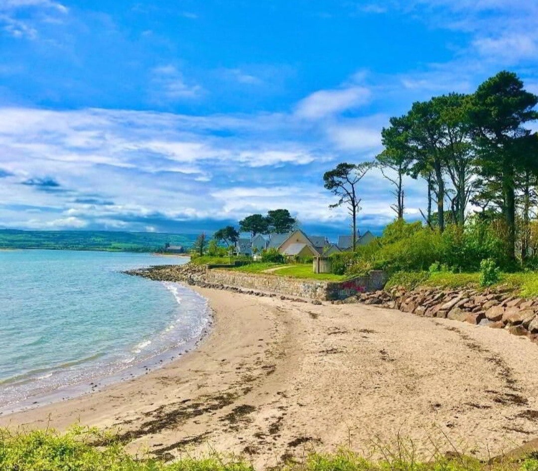 Mound in Deerpark NorthMound · 670 yd
 Embanked enclosureFairy fort / earthen ringfort · 811 yd
 Ballyrafter WoodForest · 1250 yd
 Lady Louisa's WalkWalking route · 1660 yd
 Dawn RedwoodDawn Redwood · 1.1 mi
 Ambrose Power MemorialMemorial · 1.2 mi
 Cottage IslandIslet · 1.3 mi
 Lismore Castlefarm house · 1.5 mi
 Tourin CastleCastle, tower house · 2.3 mi
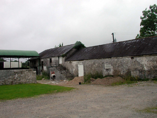 outbuildingoutbuilding · 806 yd
Other information
Photo: Credit not shown in the picture search · Rights wording not checked; contact us if this picture should be removed