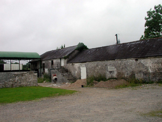
What is recorded here
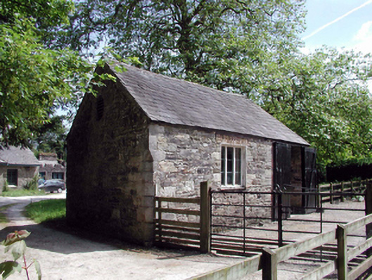
Detached seven-bay single- and two-storey outbuilding, c.1875, comprising four-bay two-storey block to west with pair of square-headed carriageways to ground floor, and three-bay single-storey range to west having square-headed carriageway to side (east) elevation. Pitched slate roofs with clay ridge tiles, rendered coping, and rainwater goods now missing from exposed timber eaves having rendered eaves band below. Unpainted roughcast lime rendered walls over random rubble stone construction. Square-headed window openings with remains of timber sills, and timber fittings. Square-headed door openings (including one to first floor of block to west approached by flight of rendered steps) with timber boarded doors. Square-headed carriageways with timber lintels, iron-sheeted rolling doors to block to west, and no fittings to range to east. Set back from road in shared grounds.
A handsome building of utilitarian appearance, which serves as a reminder of a late nineteenth-century farm complex that has been substantially replaced in the late twentieth century, and which introduces a feature of some historic character in the landscape.
This does not grant access. Most recorded buildings are privately owned; view them only from public ground unless the owner allows entry.
Places near here
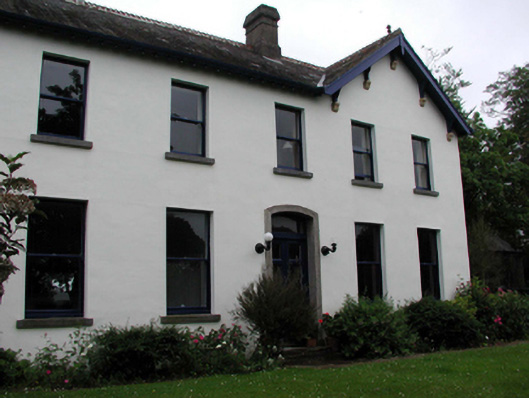 Head Viewhouse · 421 yd
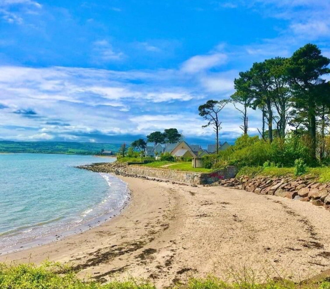 Mound in Deerpark NorthMound · 474 yd
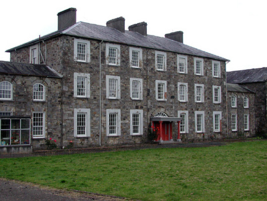 Saint Mary's Conventconvent/nunnery · 665 yd
 Mound in Ballysaggart Beg (east)Mound · 799 yd
 LismoreCastle, motte and bailey · 806 yd
 Lady Louisa's WalkWalking route · 1004 yd
 European YewEuropean Yew · 1273 yd
 Ballyrafter WoodForest · 1297 yd
 Ambrose Power MemorialMemorial · 1320 yd
 Lismore CastleOfficially recorded historic building · 1558 yd
 Cottage IslandIslet · 1747 yd
 IndicatedCastle, unclassified · 1.9 mi
Other information
Photo: National Inventory of Architectural Heritage · Website use allowed for educational or private purposes with source credit