
What is recorded here
Situated towards the bottom of a gentle E-facing slope in pasture. This was a rectory of St Catherine's, Waterford (WA009-065029-) in 1541 (Nolan 1984, 48) and is described as in good repair in 1615 (Anon. 1902, 113). Perhaps it is indicated as a rectangular feature (dims. c. 30m NW-SE; c. 10m NE-SW) attached to the NE perimeter of a large circular enclosure (WA025-009001-) (diam. c. 75m E-W; c. 70m N-S) on the 1840 ed. of the OS 6-inch map where it is named as St. John's Church. There is no evidence of the church, although it might now be incorporated into the laneway on the NE side of the enclosure.
The above description is derived from the published 'Archaeological Inventory of County Waterford' (Dublin: Stationery Office, 1999). In certain instances the entries have been revised and updated in the light of recent research.
Compiled by: Michael Moore
Date of upload/revision: 23 December 2011.
The monument record does not grant public access. Check the route and ask the landowner before entering private land.
- What survives
- Recorded monument
Places near here
 indicatedEnclosure · 791 yd
 CairnCairn, unclassified · 1125 yd
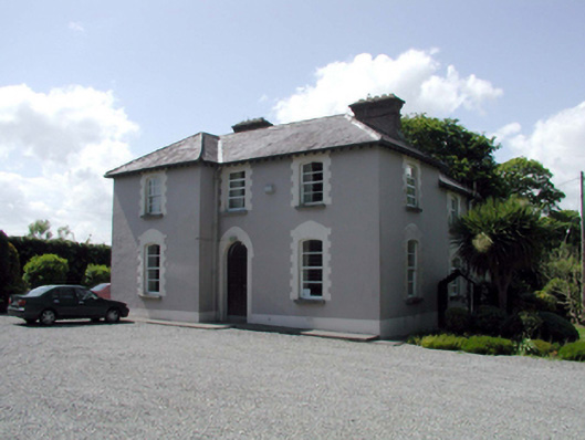 presbytery/parochial/curate's housepresbytery/parochial/curate's house · 1310 yd
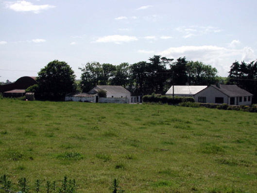 farmyard complexfarmyard complex · 1466 yd
 Fenor BogNature reserve · 1.9 mi
 Ballyscanlon HillMountain / peak · 1.9 mi
 Mote or TumulusCastle, motte · 1.9 mi
 Castle (in ruins)Castle, tower house · 2.1 mi
 St. Martin's WellSpring · 2.6 mi
 Annestown monumentMemorial · 2.9 mi
 Lime KilnVisitor information · 3.4 mi
 Annestown BeachBeach / strand · 3.5 mi
Other information
Photo: Credit not shown in the picture search · Rights wording not checked; contact us if this picture should be removed