What is recorded here
Located in pasture on a coastal promontory. A narrow isthmus (Wth 6.2m) is defended by a slight inner bank (Wth c. 3m; int. H 1.1m) and outer depression or fosse (Wth 7.8m; ext. D 1.2m; int. D 2.2m). Evidence for a second inner bank (Wth c. 2m; int. H 0.85m) can be seen just inside the first, with a causeway (Wth 2-2.4m) across the fosse. The interior is very narrow (L c. 80m N-S).
From the National Monuments Service (Archaeological Survey of Ireland) record WA024-068
The monument record does not grant public access. Check the route and ask the landowner before entering private land.
- What survives
- Recorded monument
Places near here
Site of EntrenchmentPromontory fort, coastal · 643 ydTrá na mBóVisitor information · 742 yd Roseville HouseHouse · 1111 ydDairy CottageHouse · 1323 ydBunmahon StrandBeach / strand · 1501 ydBallydowane CoveBeach / strand · 1564 ydCopper CoastCoastal geological landscape · 1.1 miMandevilles RockCastle, unclassified · 2.5 miSt. Bernard's WellSpring · 3.2 miStradbally CoveBeach / strand · 3.3 miLime KilnVisitor information · 4.8 miBallinageeragh DolmenArchaeological place · 5.5 mi
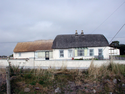 Roseville HouseHouse · 1111 yd
 Dairy CottageHouse · 1323 yd
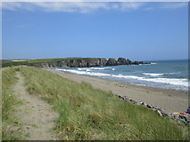 Bunmahon StrandBeach / strand · 1501 yd
 Ballydowane CoveBeach / strand · 1564 yd
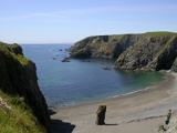 Copper CoastCoastal geological landscape · 1.1 miMandevilles RockCastle, unclassified · 2.5 miSt. Bernard's WellSpring · 3.2 mi
 Stradbally CoveBeach / strand · 3.3 mi
 Lime KilnVisitor information · 4.8 mi
 Ballinageeragh DolmenArchaeological place · 5.5 mi
Pictures: National Inventory of Architectural Heritage; A.-K. D., Wikimedia Commons · CC BY-SA 4.0; Jonathan Thacker, Geograph · CC BY-SA 2.0; ethics girl, Geograph · CC BY-SA 2.0; Veekrokki, Wikimedia Commons · Public domain; John M, Geograph · CC BY-SA 2.0; Philip Halling, Geograph · CC BY-SA 2.0; Alexander Redfern, Wikimedia Commons · CC BY-SA 4.0
More archaeology and monuments in County Waterford · All of County Waterford
What do you know about this place?