What is recorded here
From the National Monuments Service (Archaeological Survey of Ireland) record WA038-017
Places near here
Photo credits
- Maker not stated on source page, www.pinterest.com
- Jonathan Thacker, Geograph · CC BY-SA 2.0
- Maker not stated on source page, www.genkin.org
- Maker not stated on source page, www.nationalgeographic.com
- Maker not stated on source page, www.youtube.com
- Oliver Dixon, Wikimedia Commons
- UK and Ireland Beaches; photographer not stated, UK and Ireland Beaches
- Ardmore Open Farm and Mini Zoo / Golden Pages; photographer not stated, Golden Pages verified business listing
- Maker not stated on source page, ccbklyn.org
- St Declan's Ardmore GAA official website; individual aerial photographer not stated, www.ardmoregaa.ie
 Church in Cruabhaile Íochtarach (bar. Na Déise Laistigh Den Drom),cruabhaile Uachtarach (bar. Na Déise Laistigh Den Drom)Church · 244 yd
Explorer Tom Church in Cruabhaile Íochtarach wants to lose ten pounds this year but keeps eating grass. It’s basically a field named…
 Catholic Church of Our Lady of the AssumptionChurch/chapel · 716 yd
Explorer Tom Catholic Church of Our Lady of the Assumption gets its name from a misunderstanding where 'Assumption' was thought to…
 Fairy fort / ringfort in Ballybrusa WestFairy fort / ringfort · 870 yd
Explorer Tom Embarked enclosure in Ballybrusa West says the Vikings got lost looking for it because they couldn’t see it from their…
 Standing stone in Newtown (decies Within Drum By., Ardmore Par.)Standing stone · 1340 yd
Explorer Tom Standing stone in Newtown in County Waterford is stuck on a gentle slope, acting like it’s got somewhere better to be.…
 Inscribed stone in Ballynagleragh (decies Within Drum By.)Inscribed stone · 1610 yd
Explorer Tom Inscribed stone in Ballynagleragh is gone now, but it used to have markings that experts fought over like a stale…
 Mill and Churchquarter GraveyardGraveyard · 1759 yd
Explorer Tom Mill and Churchquarter Graveyard in County Waterford claims Queen Victoria once stopped here to buy a sandwich and…
 CastleCastle, unclassified · 1.2 mi
Explorer Tom Castle in Bawnagarrane was built because the architect thought he was designing a parking lot for giants. It remains…
 Ballyquinn BeachBeach / strand · 1.7 mi
Explorer Tom Ballyquinn Beach in County Waterford started because two lads made a bet in the pub that they could find a hidden cove…
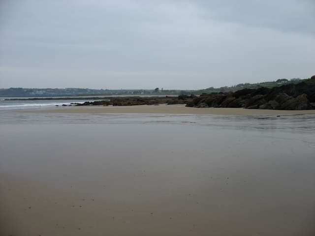 Curragh/Pebble BeachBeach / strand · 1.7 mi
Explorer Tom Curragh Beach near Ardmore is a quieter Waterford shore, with sand and an open Atlantic view for anyone who has had…
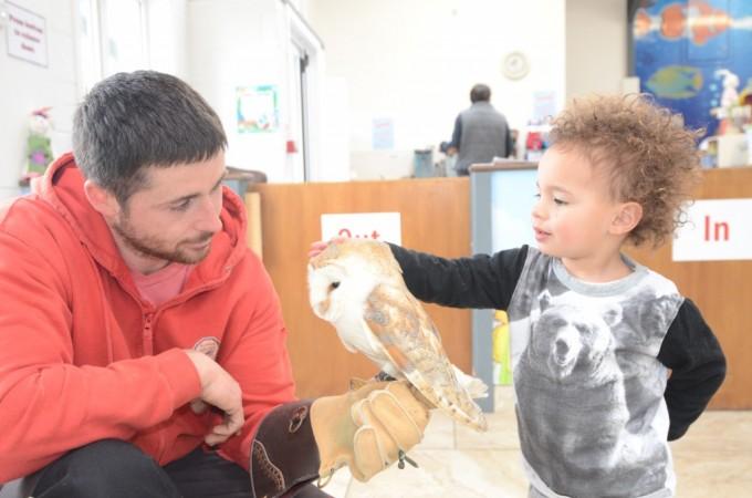 Ardmore Open FarmHeritage attraction · 1.8 mi
Explorer Tom Ardmore Open Farm at Ballykilmurry overlooks Whiting Bay, which seems a splendid setting for a quiet family outing…
 Holy Cross CemeteryCemetery · 1.8 mi
Explorer Tom Holy Cross Cemetery would ace any job interview because it has literally centuries of experience in holding secrets and…
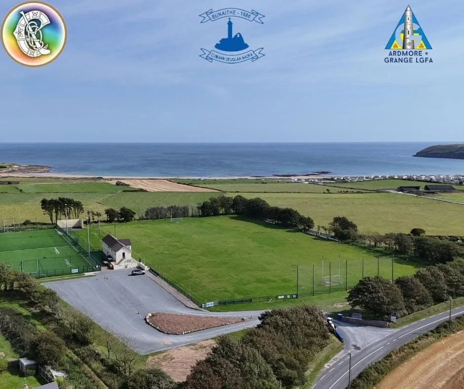 Ardmore GAA pitchGAA ground · 1.9 mi
More archaeology and monuments in County Waterford · All of County Waterford

What do you know about this place?Tap to add a comment or ask a question