
What is recorded here
Situated towards the top of the W-facing slope of a N-S ridge. The parish church of Kill St Nicholas. The nave and chancel are described as in ruins in 1615 (Anon. 1902, 113). The spoil-covered foundations of a rectangular structure (ext. dims. 13-15m E-W; 6.8m N-S) with a possible entrance (Wth 1.4m) towards the W end of the S wall (Wth 0.75m) survive. There is no evidence of the graveyard, depicted on the 1840 ed. of the OS 6-inch map as a D-shaped area (dims. c. 50m ENE-WSW; c. 25m NNW-SSE) truncated by a field bank at S, or burials. A conglomerate bullaun stone (dims. 0.77m x 0.58m; H 0.33) with a single basin (diam. 0.33-0.35m; D 0.13m) is present and a sandstone quern was also found here. The site of St Nicholas' Well is c. 15m to SW, and evident as a concrete-lined hollow, now overgrown. (Power 1890-91, 481)
Anon. (1902) Documents illustrating the history of Waterford: 1 - The Protestant diocese of Waterford in 1615. WAJ 8, 103-19.
Power, Rev. P. (1890-91) The ancient ruined churches of Co. Warterford. JRSAI 20-21, 475-82.
The above description is derived from the published 'Archaeological Inventory of County Waterford' (Dublin: Stationery Office, 1999). In certain instances the entries have been revised and updated in the light of recent research.
Compiled by: Michael Moore
Date of upload/revision: 05 October 2011
The monument record does not grant public access. Check the route and ask the landowner before entering private land.
- What survives
- Recorded monument
Places near here
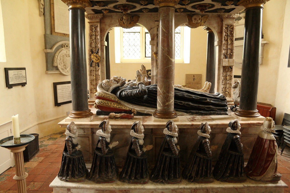 Enclosure in Kill St. NicholasEnclosure · 244 yd
 Burnt mound in Cross (gaultiere By., Kill St. Nicholas Par.)Burnt mound · 823 yd
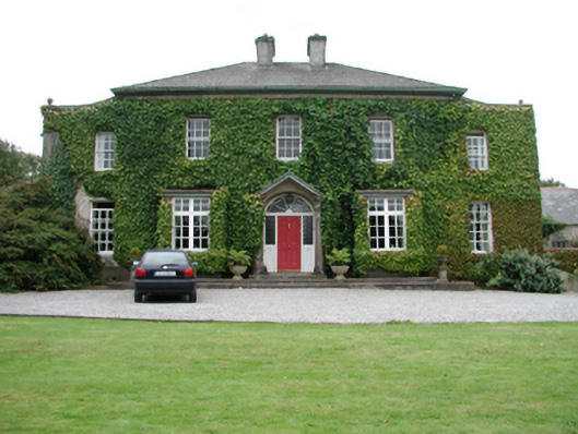 Foxmounthouse · 1758 yd
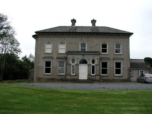 Brook Lodgehouse · 1.1 mi
 Castle (in ruins)Castle, tower house · 1.4 mi
 Ivory MemorialMemorial · 1.5 mi
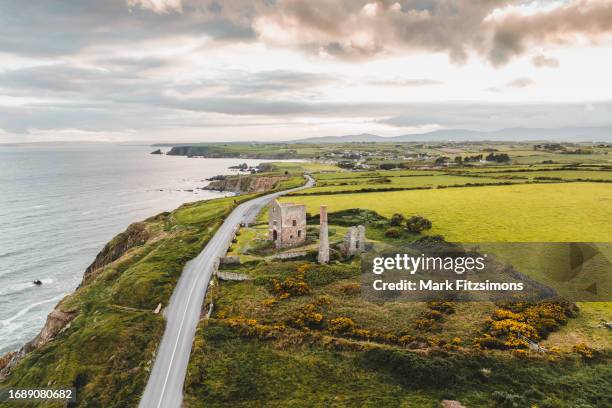 MoteCastle, motte · 1.6 mi
 Otter with a SalmonMemorial · 1.8 mi
 Raheen StrandBeach / strand · 1.9 mi
 Newtown HeadHeadland · 2.3 mi
 Catherine's BayBay · 2.3 mi
 Dromina StrandBeach / strand · 2.3 mi
Other information
Photo: Credit not shown in the picture search · Rights wording not checked; contact us if this picture should be removed