What is recorded here
Situated on a gentle E-facing slope within a farmyard. It is marked on a Down Survey (1655-6) map and recorded as the property of Lord Power of Curraghmore (WA008-005001-) in 1640 (Simington 1942, 165). This is a rectangular structure (ext. dims. c. 10m N-S; 8.3m E-W) of three storeys under a vault, with a base-batter at the E and N sides. Towards the N end of the W wall a punch-dressed, pointed doorway with a yett leads through a lobby, protected by a murder-hole operated from the second floor, to the ground floor (int. dims. 6.1m N-S; 4.8m E-W). The ground-floor chamber is entered through a plain pointed doorway with a hanging-eye, and has double-splay loops in the N and S walls and destroyed lintelled embrasures in the E and W walls. From the lobby mural stairs rise in the W wall to a lintelled doorway in the passage that is protected by a musket loop opening from the first-floor chamber, and a murder-hole. From here the stairs continue to the SW angle, rise in the S wall and exit at the SE angle above the N-S barrel vault over the first floor and its loft. There is a large ogee-headed window and a blocked fireplace in the N wall of the first floor and a window in the E wall with a garderobe at the SE angle. Access to the first floor loft under the vault was probably by a wooden stairs from the first floor chamber. There are two windows in the E wall of the loft and a garderobe with a blocked entrance at the SE angle. Nothing survives above the vault. Simington, R. C. (ed.) (1942) The Civil Survey AD 1654-1656, vi, the County of Waterford. Irish Manuscripts Commission. Dublin.
Situated on a gentle E-facing slope within a farmyard. It is marked on a Down Survey (1655-6) map and recorded as the property of Lord Power of Curraghmore (WA008-005001-) in 1640 (Simington 1942, 165). This is a rectangular structure (ext. dims. c. 10m N-S; 8.3m E-W) of three storeys under a vault, with a base-batter at the E and N sides. Towards the N end of the W wall a punch-dressed, pointed doorway with a…
From the National Monuments Service (Archaeological Survey of Ireland) record WA018-002001
The monument record does not grant public access. Check the route and ask the landowner before entering private land.
- What survives
- Recorded monument
Places near here
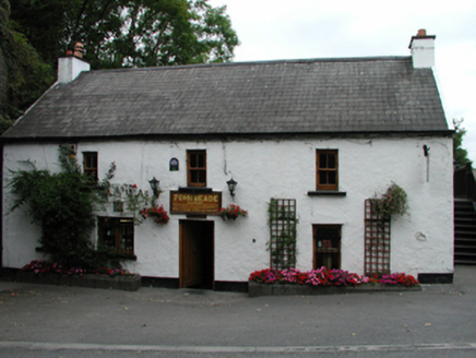 John MeadeHouse · 510 yd
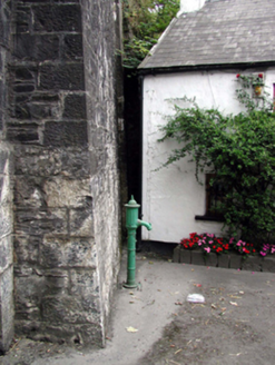 water pump513 yd
.jpg/250px-Waterford_Castle_-_panoramio_(6).jpg "Photo: Marcin Drozd, Wikimedia Commons · CC BY-SA 3.0") Waterford CastleCastle · 1.3 mi
Waterford CastleCastle · 1.3 mi Monterey Cypress1.9 mi
 Corluddy Castle (in Ruins)Castle, tower house · 7.3 mi
 Gaulstown Portal TombArchaeological place · 7.6 mi
 DolmenPortal tomb · 7.6 miMonterey Cypress7.7 mi
 Grange BeachBeach / strand · 9.3 mi
 Baginbun BeachBeach / strand · 9.8 mi
 Baginbun HeadHeadland · 10.0 mi
 Lime KilnVisitor information · 12 mi
Pictures: National Inventory of Architectural Heritage; Marcin Drozd, Wikimedia Commons · CC BY-SA 3.0; Vadim Manuylov, Wikimedia Commons · CC BY-SA 3.0; Blimey74, Wikimedia Commons · CC0; RTG, Wikimedia Commons · CC BY-SA 4.0; Paul O'Farrell, Geograph · CC BY-SA 2.0; Oliver Dixon, Geograph · CC BY-SA 2.0; Andreas F. Borchert, Wikimedia Commons · CC BY-SA 4.0; Philip Halling, Geograph · CC BY-SA 2.0
More castles and forts in County Waterford · All of County Waterford
What do you know about this place?