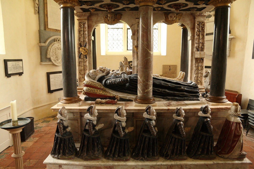
What is recorded here
Situated on the crest of a N-S ridge. The cropmark of a bivallate circular area (int. diam. c. 35m) defined by a wide feature (Wth c. 5m) and outer narrower feature (ext. diam. c. 55m) is visible on digital aerial photographs (WA018-080_1 to _5) taken during 2006.
Compiled by: Michael Moore
Date of upload: 30 July 2010
The monument record does not grant public access. Check the route and ask the landowner before entering private land.
- What survives
- Recorded monument
Places near here
 Site of St. Nicholas ChurchChurch · 244 yd
 Burnt mound in Cross (gaultiere By., Kill St. Nicholas Par.)Burnt mound · 1058 yd
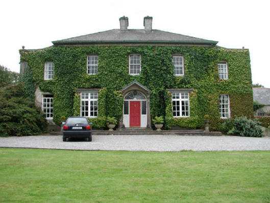 Foxmounthouse · 1.1 mi
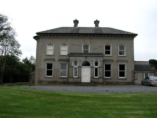 Brook Lodgehouse · 1.2 mi
 Ivory MemorialMemorial · 1.4 mi
 Castle (in ruins)Castle, tower house · 1.5 mi
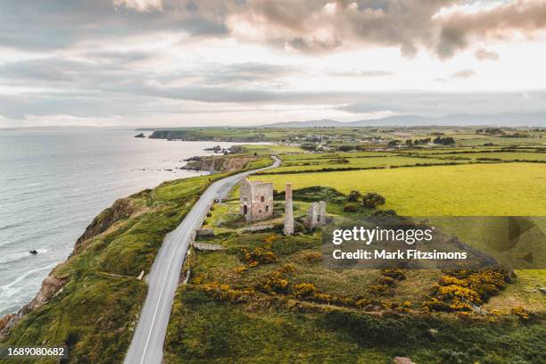 MoteCastle, motte · 1.5 mi
 Otter with a SalmonMemorial · 1.7 mi
 Raheen StrandBeach / strand · 1.8 mi
 Catherine's BayBay · 2.2 mi
 Newtown HeadHeadland · 2.3 mi
 Dromina StrandBeach / strand · 2.3 mi
Other information
Photo: Credit not shown in the picture search · Rights wording not checked; contact us if this picture should be removed