
What is recorded here
This is possibly a Penal church described as 'Kilmaline R.C. Chapel (Site of)' and depicted faintly as a rectangular structure (dims. c. 15m N-S; c. 8m E-W) on the 1840 ed. of the OS 6-inch map. However, It is regarded as an early church and graveyard called Molua's church (Power 1952, 161). Situated in pasture on an E-facing slope, it is not visible at ground level.
Power, Rev. P. (1952) The placenames of the Decies. (second ed.) Cork University Press.
The above description is derived from the published 'Archaeological Inventory of County Waterford' (Dublin: Stationery Office, 1999). In certain instances the entries have been revised and updated in the light of recent research.
Date of upload/revision: 23rd March, 2011. Compiled by: Michael Moore.
The monument record does not grant public access. Check the route and ask the landowner before entering private land.
- What survives
- Recorded monument
Places near here
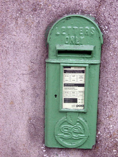 post boxpost box · 1616 yd
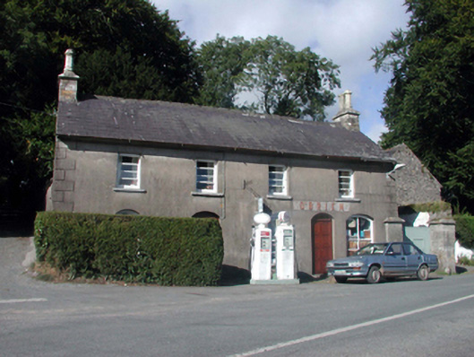 O'Brienhouse · 1626 yd
 Site of Grave YardGraveyard · 1742 yd
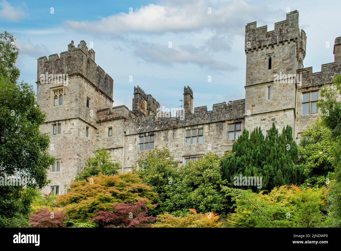 Enclosure in Mountaincastle SouthEnclosure · 1.4 mi
 Glenshelane Red WalkWalking route · 2.4 mi
 Glenshelane WoodsForest · 2.4 mi
 Coillte infoboardVisitor information · 2.7 mi
 Crow HillMountain / peak · 3.0 mi
 Black HillMountain / peak · 3.2 mi
 WaterfallViewpoint · 3.3 mi
 Sweet ChestnutSweet Chestnut · 3.5 mi
Other information
Photo: Credit not shown in the picture search · Rights wording not checked; contact us if this picture should be removed