Archaeology and monuments in County Louth
The Discover Alone map has 2,119 archaeology and monuments in County Louth, Ireland. Below are the 60 with the most written about them, pictures first. Every one has its own page with directions and places nearby.
Open County Louth on the map Windmill in ChanonrockWindmillTaylor and Skinner's map in 1777 placed a windmill at Chanonrock, but the Ordnance Survey in 1835 reduced it to ruins.…
 Trinity WellHoly wellTrinity Well in County Louth is a small boulder-lined pool where people once gathered on Trinity Sunday and believed…
 Town defences in Townparks (ardee By.)Town defencesThe Archaeological Survey of Ireland (ASI) is in the process of providing information on all monuments on The Historic…
 Town defences in Liberties OF CarlingfordTown defencesBack Lane still holds a three-metre rubble wall with four arrow loops, proving the town once kept invaders out rather…
 Town defences in Lagavooren,moneymoreTown defencesDrogheda's town defences enclosed forty-five hectares with a two-kilometre circuit, forcing residents to navigate ten…
 Tobershowney (Covered)Holy wellTobershowney is a covered holy well in County Louth, Ireland, believed to have cured all diseases. The 1967 inspection…
 ToberhullamagHoly wellToberhullamag is a small rectangular holy well at the foot of a County Louth cliff, known since 1777 and still marked…
 TobereiskHoly wellTobereisk is a holy well in County Louth, Ireland. It is a ritual site where clean water still rises through earth that…
 ToberdoneyHoly wellToberdoney is a small spring in low marshy ground where people once knelt at a station and tied prayers to a fallen ash…
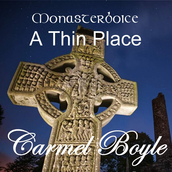 Toberboice WellHoly wellToberboice Well in Mell, County Louth, carries a brutal tradition: St. Boice drank from its waters immediately before…
 ToberanelshyHoly wellToberanelshy is a holy well in County Louth, Ireland, marked on the 1912 OS 6-inch map and also called Tober an Eleshy.…
 Tober MauraHoly wellTober Maura is a holy well in County Louth, Ireland, marked on the 1912 OS 6-inch map. It sits in a hollow near a mill…
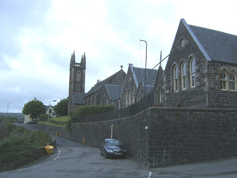 Tobar na SolaisHoly wellTobar na Solais is a holy well in County Louth, Ireland, marked on maps from 1835 and 1912 and called St. Finan's Well…
 TholselGatehouseOne chamber, one vaulted passage, and a gate in a living town: Tholsel still stands at the southeast entrance of Main…
 The Whiite CrossCrossThe Whiite Cross stands in County Louth, Ireland, marking the death of George Taaffe on 10th March 1723. Its small…
 The College (in Ruins)CollegeWalter Verdon raised the college in 1487 for chantry chaplains, but the northern wing is gone and the remaining…
 Teach AlluisSweathouseOn the WSW slopes of Slieve Foye. Marked 'Sweat Ho.' on the 1:2500 OS map (surveyed 1907). All that remained when…
 Teac AlluisSweathouseTeac Alluis was a small circular stone sweat house in County Louth, recorded in 1938-9 and lost to a bulldozer in the…
 Teac AlluisSweathouseTeac Alluis was a sweathouse on the lower SE slopes of Slievestucan in County Louth, Ireland. Its outer walls used very…
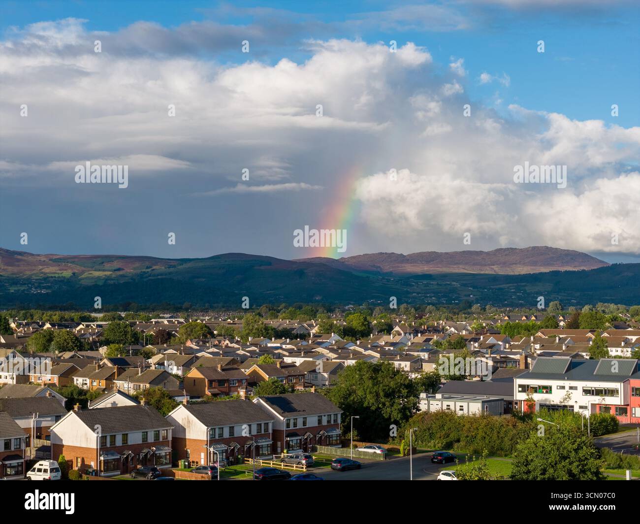 Sweathouse in DoolargySweathouseSituated on lower SSW slopes of Carrabane beside a mountain roadway. Bee-hive shaped within a small stone wall…
 Sweathouse in DoolargySweathouseYou must crawl through a narrow lintelled gap to enter the circular chamber set into the south slope of Carrabane.…
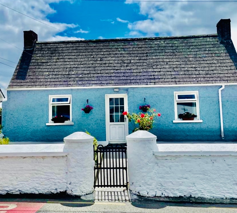 Sweathouse in AnavernaSweathouseSituated on SSW slope of the Black Mountain. Roughly oval in plan with two sub-rectangular chambers, one on the NE side…
 Sweat Ho.SweathouseSituated at the bottom of a knoll of rock outcrop where there was a small collection of houses as marked on the 1835…
:max_bytes(150000):strip_icc()/ireland-county-louth-56a3c6873df78cf7727f195d.JPG) Structure in CarrickaneenaStructureClaret Rock Tower in Carrickaneena, County Louth, stands as a ruined circular structure on a large outcrop. The name…
Structure in CarrickaneenaStructureClaret Rock Tower in Carrickaneena, County Louth, stands as a ruined circular structure on a large outcrop. The name… Structure in BalgatheranStructureNo human body has crossed that place since the cameras stopped watching. The room is empty, the doors are sealed and…
 Structure in BalgatheranStructureOne chamber had a central hearth and three burned posts, while the others kept different shapes of life. Together they…
 Stone CrossesCross — High crossMuiredach’s Cross rises five metres above Monasterboice, its sandstone every inch crowded with crucifixions, judgements…
 Standing StonesStanding stone — pairTwo shaley slabs still stand nine metres apart on the Louth ridge, leaning NW-SE above the raised beach and sea. The…
 St. Patricks WellHoly wellSt. Patricks Well in County Louth, Ireland, was a ritual site where people sought water and memory before the mid 19th…
 St. Patricks WellHoly wellSt. Patricks Well is a five sided pool in County Louth where people still imagine Patrick himself knelt, planted his…
 St. Patricks WellHoly wellSt. Patricks Well in County Louth is a small square pool, half a metre across, set into live rock and marked on maps…
 St. Patricks StoneRitual site — holy/saint's stoneSt. Patricks Stone in County Louth is a large natural boulder marked with three circular depressions. Tradition claims…
 St. Johns Well (Covered)Holy wellTober Eonan, also called Tober Ronan and St. Johns Well (Covered), stood in County Louth as a rectangular stone pool…
 St. Jamess WellHoly wellSt. James's Well in County Louth is a rectangular pool lined with large roughly dressed blocks, four or five stones…
St. Finians WellHoly wellSt. Finians Well in County Louth is a circular stone-lined ritual site where emigrants drank water before crossing to…
 St. Finians WellHoly wellSt. Finian's Well in County Louth is a small holy water place where people once gathered for prayer and healing. The…
 St. Feighins WellHoly wellSt. Feighins Well hides beneath a green-sodded stone shed at the foot of an ash tree in County Louth. Inside a narrow…
 St. Denniss WellHoly wellSt. Denniss Well is a rectangular stone pool set into a cliff edge in County Louth, Ireland, where pilgrims once…
 St. Denniss StoneRitual site — holy/saint's stoneSt. Denniss Stone is a rectangular ritual marker in County Louth, Ireland, recorded on the 1912 map and later moved…
 St Brigids WellHoly wellSt Brigid's Well in County Louth wears a corbelled stone canopy built between 1900 and 1924, replacing an older clay…
 Settlement cluster in Battsland,dunleer,ravelSettlement clusterDunleer, Battsland and Ravel form a settlement cluster on the White River in County Louth, Ireland. Dunleer held an…
 Settlement cluster in ArdaghySettlement clusterArdaghy in County Louth held a settlement cluster where people lived, worked and repeated the ordinary rhythms that…
 Round tower in DromiskinRound towerThree and a half metres above the grass, a Romanesque arch waits for climbers who never came. Carved heads still watch…
 Rockmarshall Court TombArchaeological placeRockmarshall Court Tomb is a Neolithic court cairn built around 3500 BC on the southern slopes of Annaloughan Mountain…
 Ritual siteRitual site — holy/saint's stoneSt. Kevin's Well in County Louth is said to hold a stone marked by his knees, yet no trace of either remains visible at…
 Remains of a Monumental PillarCross — Wayside crossThe following description is derived from both the published 'Archaeological Inventory of County Louth' (Dublin…
 Promontory Fort or Mota GormflaithPromontory fort — coastalMota Gormflaith is a ruined coastal promontory fort in County Louth, Ireland. It occupies a triangular neck of land…
 Promontory fortPromontory fort — inlandPromontory fort in County Louth, Ireland is an oval ridge-top enclosure where a thick earth and stone bank joins a…
 Promontory fortPromontory fort — inlandPromontory fort in County Louth, Ireland: a ridge end where the land falls away on three sides and a bank and shallow…
 Promontory fortPromontory fort — inlandPromontory fort stood above the confluence of two small rivers in County Louth, a triangular headland shaped into a…
 Promontory fortPromontory fort — inlandPromontory fort in County Louth, Ireland: an oval area, at most thirty metres long and twenty-one wide, with an earth…
 Promontory fortPromontory fort — coastalBenagh promontory fort in County Louth used two inland rivers and a natural scarp instead of sea cliffs, leaving only…
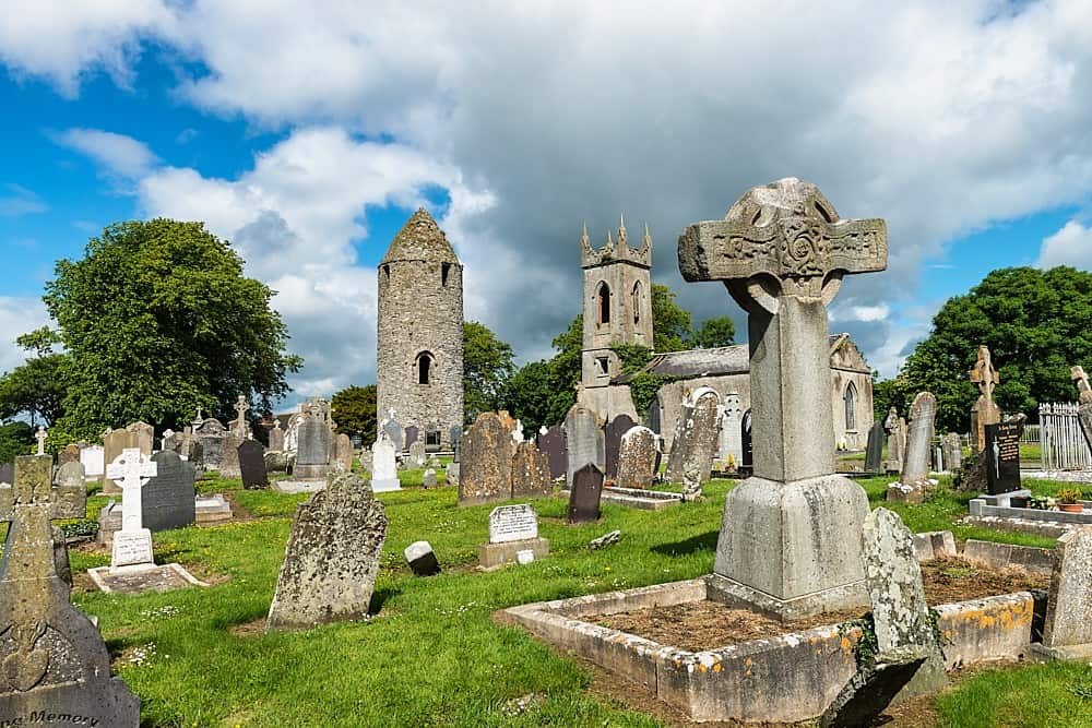 PlatformPlatform — peatlandExposed during pre-development archaeological testing (Excavation Licence No. 99E0330). Excavation initially uncovered…
 Passage tomb in TownleyhallPassage tombTwenty colossal stones once formed a narrow chamber beneath a round mound in Townleyhall, waiting for the dead before…
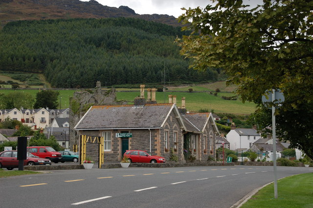 Not inidicatedEnclosureThe following description is derived from both the published 'Archaeological Inventory of County Louth' (Dublin…
 Not inidcatedEnclosureLocated on a small N-S spur. The faint cropmark of a circular enclosure (diam. c. 30m) defined by a slight fosse E-SW…
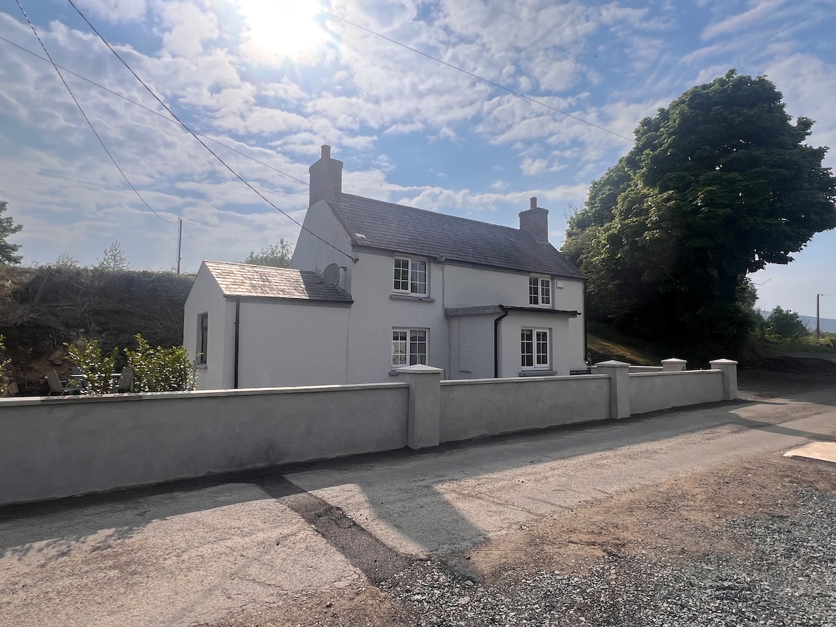 Not indicaetdEnclosureLocated towards the E end of a low E-W ridge. The cropmark of a D-shaped enclosure (dims c. 27m NE-SW; c. 20m NW-SE)…
 Not indicaetdFairy fort / earthen ringfortNot indicaetd is a nameless earthen ringfort on a north-facing slope in County Louth, its thirty-five-metre circle…
 Newtown FortArchaeological placeNewtown Fort stands in County Louth, a buried shape waiting for patience rather than force. It may have been a home, a…
 Newtown Burying GroundGraveyardNewtown Burying Ground is a sub-rectangular enclosure in Mountbagnall, County Louth, measuring roughly seventy by fifty…