
What is recorded here
Marked on the 1911 'OS 6-inch' map as 'St. Fintan's Well'. The OS Letters refer to a well called 'Tobar Fiondáin' (CLAJ 1923, 200). When inspected by ASI in 1966 it was described as a circular stone lined well, filled with stagnant water and covered with briars and bushes. Stations were held on St. Finnian's Festival - 8th October (Coyle 1956, 196-8). According to tradition emigrants bound for America drank the water to make sure they returned. A smaller well was built close-by for domestic purposes.
Compiled by: Claire Breen
Date of upload: 4 July 2012
St. Finian's Well is associated with St. Fiondáin (or Fintan), an early Irish saint linked to several holy sites in Ireland. Traditionally, such wells were believed to have curative properties and were often sites of pilgrimage and ritual, particularly on feast days.
The monument record does not grant public access. Check the route and ask the landowner before entering private land.
- What survives
- Recorded monument
Places near here
 CastleCastle, motte · 195 yd
 Saint Finian's Catholic Churchchurch/chapel · 225 yd
 Man-made underground passage in DrominMan-made underground passage · 228 yd
 IndicatedGraveyard · 288 yd
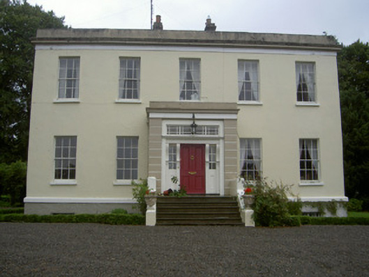 Dromin Housecountry house · 519 yd
 Monterey CypressMonterey Cypress · 1722 yd
 Graveyard in Richardstown (ardee By., Richardstown Par.)Graveyard · 1.0 mi
 Rocjardstown CastleCastle, tower house · 1.0 mi
 Rathescar Lakeside WalkWood · 1.6 mi
 Graveyard in StickillinGraveyard · 2.6 mi
 Tullydonnell HillMountain / peak · 3.9 mi
 Black HillMountain / peak · 4.5 mi
Other information
Photo: Credit not shown in the picture search · Rights wording not checked; contact us if this picture should be removed