
What is recorded here
Grass grows thick between the graves, softening the edges of what was lost. The church still stands nearby, its shadow reaching across the yard at dusk. People buried here belonged to Richardstown, their names forgotten but their lives shaped the town. The graveyard holds what the village cannot release.
The following description is derived from both the published 'Archaeological Inventory of County Louth' (Dublin: Stationery Office, 1986) and the 'Archaeological Survey of County Louth' (Dublin: Stationery Office, 1991). In certain instances the entries have been revised and updated in the light of recent research.
Date of upload/revision: 17 July 2007
Graveyard associated with church (LH017-100001-).
The monument record does not grant public access. Check the route and ask the landowner before entering private land.
- What survives
- Recorded monument
Places near here
 Monterey CypressMonterey Cypress · 60 yd
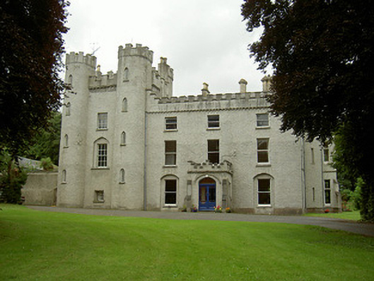 Richardstown Castlecastle/fortified house · 62 yd
 Rocjardstown CastleCastle, tower house · 71 yd
 Church in ToberdoneyChurch · 824 yd
 IndicatedHoly well · 878 yd
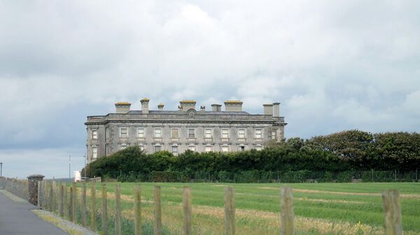 Enclosure in Richardstown (ardee By., Richardstown Par.)Enclosure · 915 yd
 CastleCastle, motte · 1.1 mi
 Graveyard in StickillinGraveyard · 1.8 mi
 Rathescar Lakeside WalkWood · 2.4 mi
 Drummeenagh HillMountain / peak · 4.3 mi
 Tullydonnell HillMountain / peak · 4.8 mi
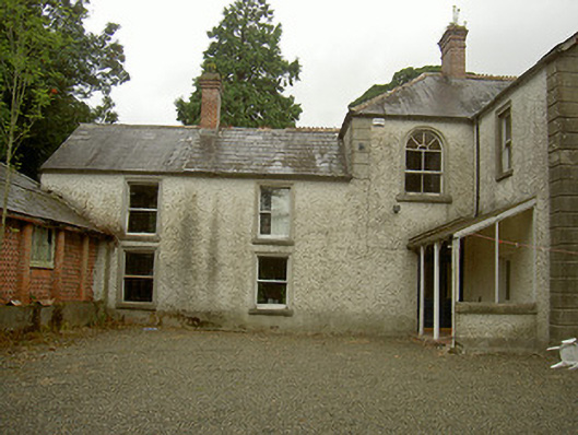 Toberdoney Househouse · 1029 yd
Other information
Photo: Kieran Campbell · Creative Commons Attribution-ShareAlike 2.0