
What is recorded here
The following description is derived from both the published 'Archaeological Inventory of County Louth' (Dublin: Stationery Office, 1986) and the 'Archaeological Survey of County Louth' (Dublin: Stationery Office, 1991). In certain instances the entries have been revised and updated in the light of recent research.
Date of upload/revision: 17 July 2007
Local tradion of church (some claim it was a castle) in NW corner of field known as 'Srath Field'. Field immediately to S known as 'Church Field' (SAM 1956, 202-4). No visible surface trace.
The monument record does not grant public access. Check the route and ask the landowner before entering private land.
- What survives
- Recorded monument
Places near here
 IndicatedHoly well · 117 yd
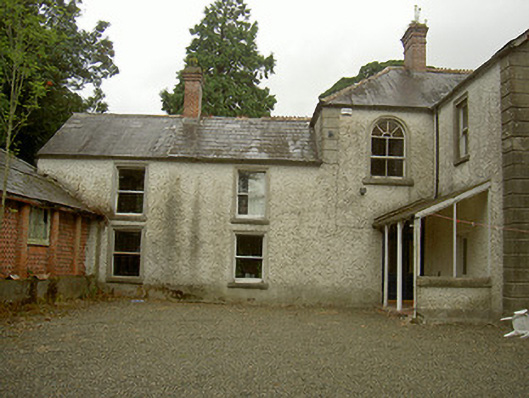 Toberdoney Househouse · 211 yd
 Rocjardstown CastleCastle, tower house · 757 yd
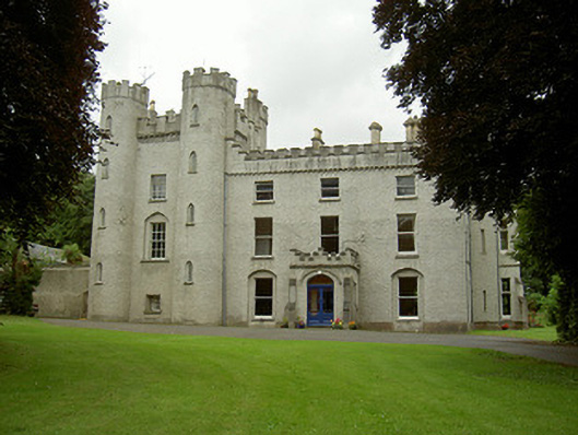 Richardstown Castlecastle/fortified house · 763 yd
 Monterey CypressMonterey Cypress · 801 yd
 Graveyard in Richardstown (ardee By., Richardstown Par.)Graveyard · 824 yd
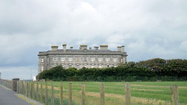 Enclosure in Richardstown (ardee By., Richardstown Par.)Enclosure · 1738 yd
 Drumcashel FortCastle, motte · 1.2 mi
 Graveyard in StickillinGraveyard · 1.4 mi
 Rathescar Lakeside WalkWood · 2.3 mi
 Mount OrielMountain / peak · 4.7 mi
 Drummeenagh HillMountain / peak · 4.7 mi
Other information
Photo: Credit not shown in the picture search · Rights wording not checked; contact us if this picture should be removed