Places near here
Photo credits
- National Inventory of Architectural Heritage
- Mike Searle, Geograph · CC BY-SA 2.0
- Vadim Manuylov, Wikimedia Commons · CC BY-SA 3.0
- Kieran Campbell, Geograph · Creative Commons Attribution-ShareAlike 2.0
- Kieran Campbell, Wikimedia Commons · CC BY-SA 2.0
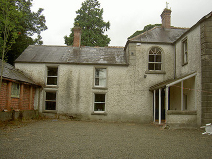 Toberdoney HouseHouse · 163 yd
Explorer Tom Toberdoney House in Toberdoney, County Louth has started a secret fan club that meets at midnight to sing praises of…
 Richardstown CastleCastle, tower house · 808 yd
Explorer Tom Richardstown Castle has four round towers that make it look like it’s trying to hold up the sky. It’s plastered over…
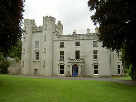 Richardstown CastleCastle/fortified house · 816 yd
Explorer Tom Richardstown Castle in County Louth is wearing four different outfits because it can't decide who to be. It gave up its…
 Monterey Cypress848 yd
Explorer Tom Monterey Cypress in County Louth does weird yoga poses when nobody's looking, twisting its branches into shapes that…
 Graveyard in Richardstown (ardee By., Richardstown Par.)Graveyard · 878 yd
Explorer Tom Richardstown’s graveyard sits in the wooded grounds of a castle with a modern top half. It is secretly proud of the…
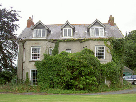 Harristown HouseCountry house · 1602 yd
Explorer Tom Harristown House brags about surviving a storm in 1794 that flattened everything else in County Louth. Its canted bays…
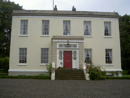 Dromin HouseCountry house · 1.0 mi
Explorer Tom Dromin House is the result of a bargain so good the builder probably didn’t believe it himself. It’s got that classic…
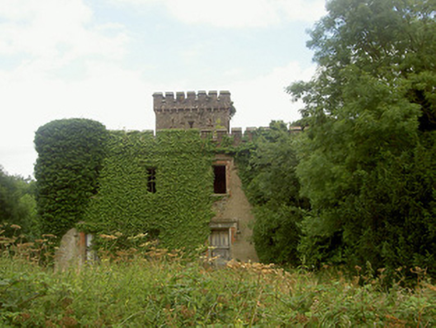 Drumcashel HouseCountry house · 1.3 mi
Explorer Tom Drumcashel House hides a message in its crenellated parapet that says 'I was once very important.' The tower is…
 Glebe HouseRectory/glebe/vicarage/curate's house · 1.3 mi
Explorer Tom Glebe House was built by someone who really wanted symmetry to do all the heavy lifting without any fuss. The builder…
 CastleCastle, motte · 1.3 mi
Explorer Tom Castle at Dromin is a massive dirt pile that refuses to let go of one stubborn pigeon who thinks he owns it. The birds…
 Graveyard in DrominGraveyard · 1.4 mi
Explorer Tom Graveyard in Dromin was built on a bargain where St Finian promised good weather if they dug deep enough. The church…
 Trinity WellHoly well · 1.5 mi
Explorer Tom Trinity Well in Paughanstown started because two lads made a bet in the pub. It's got a modern roof on iron bed…
More archaeology and monuments in County Louth · All of County Louth

What do you know about this place?Tap to add a comment or ask a question