
What is recorded here
Marked on the 1835 and 1938 'OS 6-inch' maps as 'Trinity Well'. The OS Letters refer to a formal station here on Trinity Sunday in the mid-nineteenth century (CLAJ 1929, 54). Described in 1967 (ASI field notes) as an 'irregular small pool, lined with small boulders which face the cavity in the ground. It has a modern stone lintelled roof laid on iron fragments (of a bed). An irregular path of stone steps lead down to well.' Various traditions and legends associated with it. St. Patrick is believed to have visited it and the marks of his feet are said to be left on a stone (IFC Schools' Mss 669, 4). It was also believed that the first person to draw water from it on Christmas Eve would find it had turned into wine (ibid). A bullaun stone (LH017-038002) lies beside it.
Marked on the 1835 and 1938 'OS 6-inch' maps as 'Trinity Well'. The OS Letters refer to a formal station here on Trinity Sunday in the mid-nineteenth century (CLAJ 1929, 54). Described in 1967 (ASI field notes) as an 'irregular small pool, lined with small boulders which face the cavity in the ground. It has a modern stone lintelled roof laid on iron fragments (of a bed). An irregular path of stone steps lead…
From the National Monuments Service (Archaeological Survey of Ireland) record LH017-038001
The monument record does not grant public access. Check the route and ask the landowner before entering private land.
- What survives
- Recorded monument
Places near here
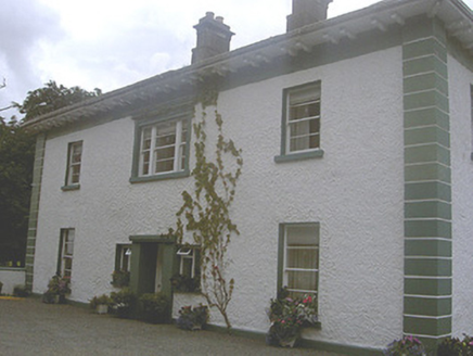 Roestown HouseHouse · 773 yd
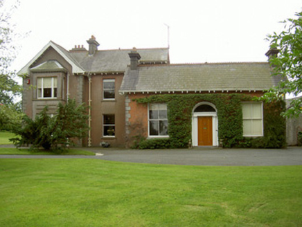 Hoathstown HouseFarm house · 1.0 mi
 Graveyard in StickillinGraveyard · 1.6 mi
 Richardstown CastleCastle, tower house · 1.9 mi
 Monterey Cypress1.9 mi
 Graveyard in Richardstown (ardee By., Richardstown Par.)Graveyard · 2.0 mi
 CastleCastle, motte · 2.2 mi
 IndicatedGraveyard · 2.3 mi
 The College (in Ruins)College · 2.6 mi
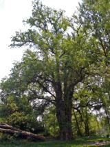 European White Elm2.7 mi
 Monasterboice Round TowerHeritage attraction · 4.8 mi
 Muiredach's High CrossHeritage attraction · 4.8 mi
Pictures: National Inventory of Architectural Heritage; Kieran Campbell, Geograph · Creative Commons Attribution-ShareAlike 2.0; Mike Searle, Geograph · CC BY-SA 2.0; Vadim Manuylov, Wikimedia Commons · CC BY-SA 3.0; Kieran Campbell, Wikimedia Commons · CC BY-SA 2.0; Dasmuy, Wikimedia Commons · CC BY-SA 4.0; Rainer Lippert, Wikimedia Commons · CC0; Colin Park, Geograph · CC BY-SA 2.0; Adriao, Wikimedia Commons · CC BY-SA 4.0
More archaeology and monuments in County Louth · All of County Louth
What do you know about this place?