What is recorded here
Located on a rise on a slight N-facing slope down to the meandering River Dee, which is c. 400m to the NW and NE. The cropmark of a circular feature (diam. c. 40m) defined by a poorly defined fosse (Wth c. 1-4m) is visible only on an Aerial Premium (2013-18) image. It was first reported by Jean Charles Caillére.
See the attached enhanced view from Aerial Premium (2013-18)
Compiled by: Michael Moore
Date of upload: 21 January 2022
The monument record does not grant public access. Check the route and ask the landowner before entering private land.
- What survives
- Recorded monument
Places near here
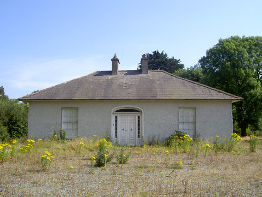 White Millsmiller's house · 784 yd
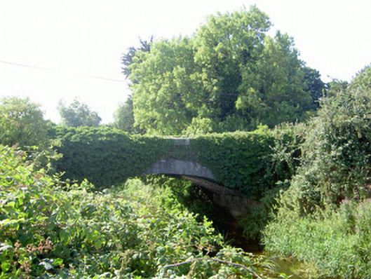 Dromgoolestown Bridgebridge · 882 yd
 Graveyard in Richardstown (ardee By., Richardstown Par.)Graveyard · 914 yd
 Ecclesiastical enclosure in StabannanEcclesiastical enclosure · 929 yd
 Monterey CypressMonterey Cypress · 945 yd
 Rocjardstown CastleCastle, tower house · 983 yd
 St. Finians WellHoly well · 1686 yd
 CastleCastle, motte · 1.0 mi
 Graveyard in StickillinGraveyard · 2.3 mi
 Rathescar Lakeside WalkWood · 2.5 mi
 Drummeenagh HillMountain / peak · 3.8 mi
 Tullydonnell HillMountain / peak · 4.4 mi
Other information
Photo: Credit not shown in the picture search · Rights wording not checked; contact us if this picture should be removed