
What is recorded here
Cropmarks of two sets of double fosses visible on aerial photographs (CUCAP, BDS 67; GB89.D.30 & 46). Cropmarks appear to be circling Strabannan church and graveyard (LH015-023001- and LH015-023002-), indicating a large ecclesiastical enclosure (estimated diam. c. 250m).
Compiled by: Claire Breen
Date of upload: 6 June 2012
The monument record does not grant public access. Check the route and ask the landowner before entering private land.
- What survives
- Recorded monument
Places near here
 St. Nicholass ChurchChurch · 58 yd
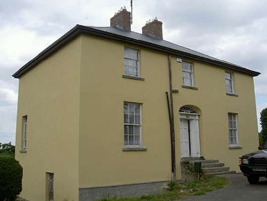 Glebe Houserectory/glebe/vicarage/curate's house · 117 yd
 CastleCastle, unclassified · 194 yd
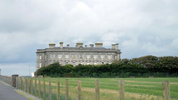 Enclosure in Richardstown (ardee By., Richardstown Par.)Enclosure · 929 yd
 Graveyard in Richardstown (ardee By., Richardstown Par.)Graveyard · 1502 yd
 Monterey CypressMonterey Cypress · 1556 yd
 Rocjardstown CastleCastle, tower house · 1568 yd
 Enclosure in CharlevilleEnclosure · 1.1 mi
 Graveyard in StickillinGraveyard · 2.3 mi
 Rabbit BurrowWood · 2.5 mi
 Drummeenagh HillMountain / peak · 3.4 mi
 Tullydonnell HillMountain / peak · 4.6 mi
Other information
Photo: Credit not shown in the picture search · Rights wording not checked; contact us if this picture should be removed