
What is recorded here
The following description is derived from both the published 'Archaeological Inventory of County Louth' (Dublin: Stationery Office, 1986) and the 'Archaeological Survey of County Louth' (Dublin: Stationery Office, 1991). In certain instances the entries have been revised and updated in the light of recent research.
Date of upload/revision: 17 July 2007
St. Nicholas's Protestant Church, built c. 1713, on or near site of earlier church which was ruinous in 1622 (Leslie 1908, 104-7, 301-6; CLAJ 1943, 210). No visible trace.
This remains an important historical record, but the official description says the monument is no longer visible or has been destroyed. The monument record does not grant public access. Check the route and ask the landowner before entering private land.
- What survives
- No visible remains or recorded as destroyed
Places near here
 Ecclesiastical enclosure in StabannanEcclesiastical enclosure · 58 yd
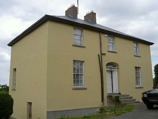 Glebe Houserectory/glebe/vicarage/curate's house · 111 yd
 CastleCastle, unclassified · 137 yd
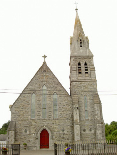 Saint Nicholas's Catholic Churchchurch/chapel · 539 yd
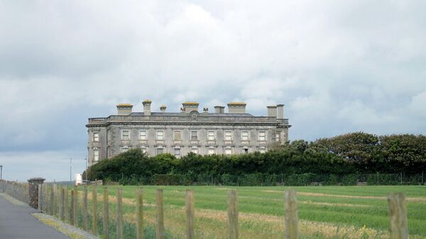 Enclosure in Richardstown (ardee By., Richardstown Par.)Enclosure · 974 yd
 Graveyard in Richardstown (ardee By., Richardstown Par.)Graveyard · 1559 yd
 Monterey CypressMonterey Cypress · 1613 yd
 Rocjardstown CastleCastle, tower house · 1625 yd
 Graveyard in StickillinGraveyard · 2.3 mi
 Rabbit BurrowWood · 2.5 mi
 Drummeenagh HillMountain / peak · 3.4 mi
 Tullydonnell HillMountain / peak · 4.6 mi
Other information
Photo: Credit not shown in the picture search · Rights wording not checked; contact us if this picture should be removed