
What is recorded here
Stabannan Castle vanished before human memory, leaving only faint cropmarks and a Down Survey marker. The land may still hide its walls, waiting for rain or plough to reveal what forgetfulness removed.
A castle at Stabannan (34) is marked on the Down Survey (1656-8) barony map, for which see this web-page accessed on 6 May, 2016 http://downsurvey.tcd.ie/down-survey-maps.php#bm=Atherdee&c=Louth Cropmarks are visible on aerial photograph (CUCAP: BDS 67), but the precise location of the castle is not known. See (LH015-029----).
Compiled by: Claire Breen
Date of upload: 31 May 2012
The monument record does not grant public access. Check the route and ask the landowner before entering private land.
- What survives
- Recorded monument
Places near here
 St. Nicholass ChurchChurch · 137 yd
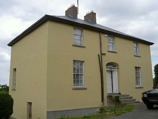 Glebe Houserectory/glebe/vicarage/curate's house · 177 yd
 Ecclesiastical enclosure in StabannanEcclesiastical enclosure · 194 yd
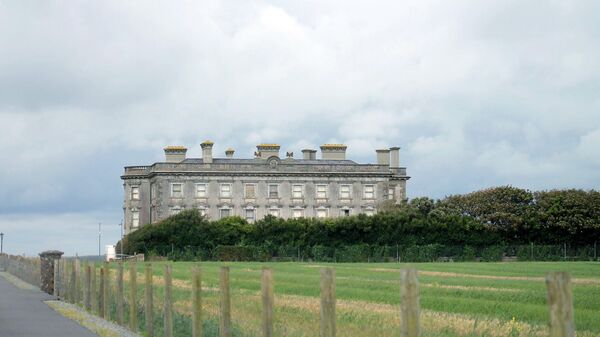 Enclosure in Richardstown (ardee By., Richardstown Par.)Enclosure · 1095 yd
 Drumcashel FortCastle, motte · 1665 yd
 Graveyard in Richardstown (ardee By., Richardstown Par.)Graveyard · 1696 yd
 Monterey CypressMonterey Cypress · 1750 yd
 Rocjardstown CastleCastle, tower house · 1.0 mi
 Graveyard in StickillinGraveyard · 2.4 mi
 Rabbit BurrowWood · 2.4 mi
 Drummeenagh HillMountain / peak · 3.3 mi
 Tullydonnell HillMountain / peak · 4.6 mi
Other information
Photo: Credit not shown in the picture search · Rights wording not checked; contact us if this picture should be removed