What is recorded here
The following description is derived from both the published 'Archaeological Inventory of County Louth' (Dublin: Stationery Office, 1986) and the 'Archaeological Survey of County Louth' (Dublin: Stationery Office, 1991). In certain instances the entries have been revised and updated in the light of recent research.
Date of upload/revision: 17 July 2007
Site of St Finian's church (LH018-059001-) locally believed to be on hill known as 'Killerdrim'. Burials (LH018-059002-) and possible grave-slabs (LH018-059003-) unearthed here. (CLAJ 1909, 136; SAM 1956, 196-8)
The monument record does not grant public access. Check the route and ask the landowner before entering private land.
- What survives
- Recorded monument
Places near here
 IndicatedGraveyard · 419 yd
 Man-made underground passage in DrominMan-made underground passage · 456 yd
 Saint Finian's Catholic Churchchurch/chapel · 468 yd
 CastleCastle, motte · 480 yd
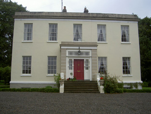 Dromin Housecountry house · 879 yd
 Monterey CypressMonterey Cypress · 1.2 mi
 Graveyard in Richardstown (ardee By., Richardstown Par.)Graveyard · 1.2 mi
 Rocjardstown CastleCastle, tower house · 1.2 mi
 Rathescar Lakeside WalkWood · 1.8 mi
 Graveyard in StickillinGraveyard · 2.9 mi
 Tullydonnell HillMountain / peak · 3.6 mi
 Black HillMountain / peak · 4.7 mi