:max_bytes(150000):strip_icc()/ireland-county-louth-56a3c6873df78cf7727f195d.JPG)
What is recorded here
Known as 'Claret Rock Tower'. The name Claret Rock is later than 1815 and is so called 'from a hogshead of wine that bursted there' (CLAJ 2, 1909, 129). Consists of ruins of circular tower (diam. NW-SE 6.50m) which was built on large outcrop. Poorly coursed, rubble masonry held together by rough mortar. (SMR file)
Compiled by: Claire Breen
Date of upload: 10 November 2011
The monument record does not grant public access. Check the route and ask the landowner before entering private land.
- What survives
- Recorded monument
Places near here
 Enclosure in CarrickaneenaEnclosure · 464 yd
 Moyry CastleCastle · 656 yd
 CASTLE & BAWN: MOYRY or MOIRY CASTLE in CarrickbroadCASTLE & BAWN: MOYRY or MOIRY CASTLE · 663 yd
 KILNASAGGART INSCRIBED PILLAR STONE & CEMETERY with 6 CROSS-CARVED STONES: CELL NA SACART in EdenappaKILNASAGGART INSCRIBED PILLAR STONE & CEMETERY with 6 CROSS-CARVED STONES: CELL NA SACART · 850 yd
 Kilnasggart inscribed stoneArchaeological place · 853 yd
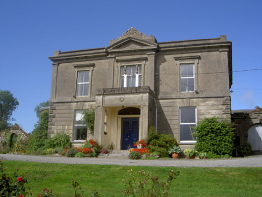 Claret Rock Househouse · 885 yd
 SlievenaboleaMountain / peak · 989 yd
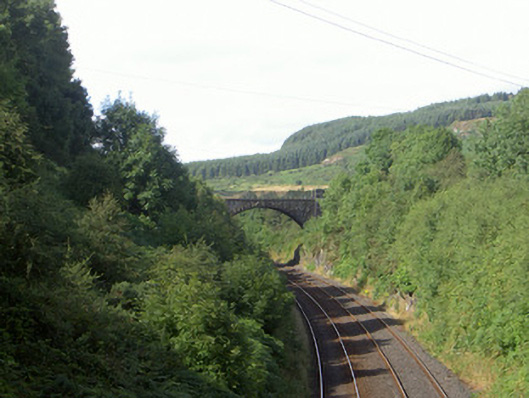 bridgebridge · 1102 yd
 Faughart MoundCastle, motte · 1637 yd
 Feede MountainMountain / peak · 1641 yd
 Ring of Gullion Way - Section 3Walking route · 1.3 mi
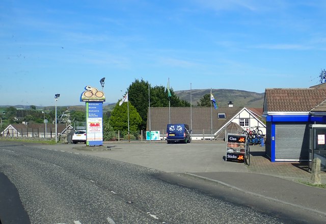 Ring of Gullion WayWalking route · 1.4 mi
Other information
Photo: Credit not shown in the picture search · Rights wording not checked; contact us if this picture should be removed