
What is recorded here
Moyry Castle stands in Carrickbroad, County Armagh, preserving a late medieval structure that still carries the weight of local memory. Its stones mark a time when armed families controlled narrow valleys and trusted walls more than words. The castle may have hosted feasts, frightened neighbours or simply watched the fields beneath it. Whatever happened inside, the building survived to keep that unknown life visible.
The official Northern Ireland record identifies this as CASTLE & BAWN: MOYRY or MOIRY CASTLE. Recorded period: POST-MED; LATE-MED. Recorded protection: State Care. The official map point was placed at the centre of the recorded archaeological site from the source map reference.
Moyry Castle was built in the late 16th century by the O'Hanlon family, Gaelic chieftains of the area, and later held by English forces during the Plantation of Ulster in the early 17th century. It is remembered for its strategic position on the border between counties Armagh and Monaghan, marking a key site in the Anglo-Irish conflict.
The monument record does not grant public access. Check the route and ask the landowner before entering private land.
- What survives
- Recorded monument
Places near here
 Moyry CastleCastle · 8 yd
 ENCLOSURE in CarrickbroadENCLOSURE · 310 yd
 Kilnasggart inscribed stoneArchaeological place · 517 yd
 KILNASAGGART INSCRIBED PILLAR STONE & CEMETERY with 6 CROSS-CARVED STONES: CELL NA SACART in EdenappaKILNASAGGART INSCRIBED PILLAR STONE & CEMETERY with 6 CROSS-CARVED STONES: CELL NA SACART · 517 yd
 SlievenaboleaMountain / peak · 734 yd
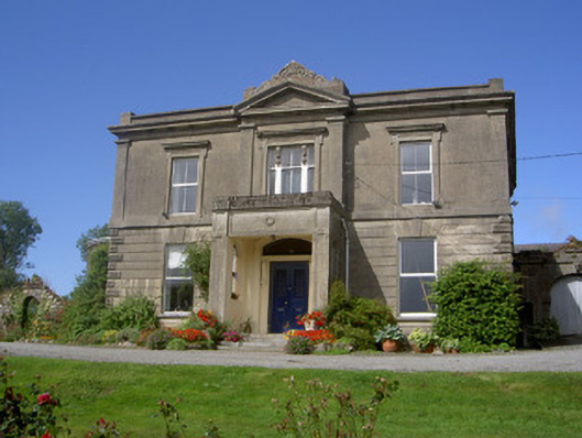 Claret Rock Househouse · 1543 yd
 Ring of Gullion Way - Section 3Walking route · 1572 yd
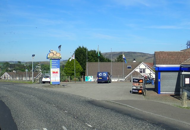 Ring of Gullion WayWalking route · 1729 yd
 Feede MountainMountain / peak · 1757 yd
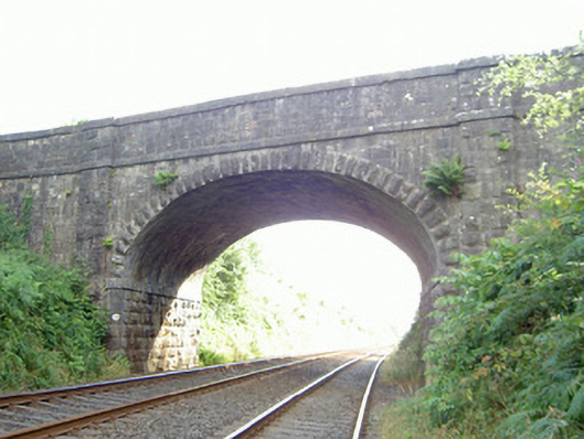 bridgebridge · 1.1 mi
 Faughart MoundCastle, motte · 1.2 mi
 1978 British Army Gazelle downingaviation accident · 1.3 mi
Other information
Photo: Eric Jones · CC BY-SA 2.0