
What is recorded here
The official Northern Ireland record identifies this as ENCLOSURE. Recorded period: UNCERTAIN. The official map point was placed at the centre of the recorded archaeological site from the source map reference.
A local fairy fort (ringfort/rath); wider significance not recorded.
The monument record does not grant public access. Check the route and ask the landowner before entering private land.
- What survives
- Recorded monument
Places near here
 CASTLE & BAWN: MOYRY or MOIRY CASTLE in CarrickbroadCASTLE & BAWN: MOYRY or MOIRY CASTLE · 310 yd
 Moyry CastleCastle · 311 yd
 SlievenaboleaMountain / peak · 523 yd
 Kilnasggart inscribed stoneArchaeological place · 782 yd
 KILNASAGGART INSCRIBED PILLAR STONE & CEMETERY with 6 CROSS-CARVED STONES: CELL NA SACART in EdenappaKILNASAGGART INSCRIBED PILLAR STONE & CEMETERY with 6 CROSS-CARVED STONES: CELL NA SACART · 783 yd
:max_bytes(150000):strip_icc()/ireland-county-louth-56a3c6873df78cf7727f195d.JPG) Structure in CarrickaneenaStructure · 886 yd
Structure in CarrickaneenaStructure · 886 yd Ring of Gullion Way - Section 3Walking route · 1319 yd
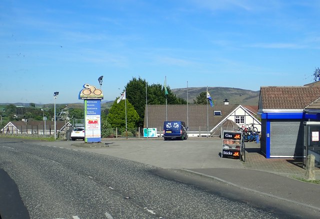 Ring of Gullion WayWalking route · 1608 yd
 MonascreebeMountain / peak · 1721 yd
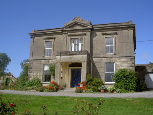 Claret Rock Househouse · 1727 yd
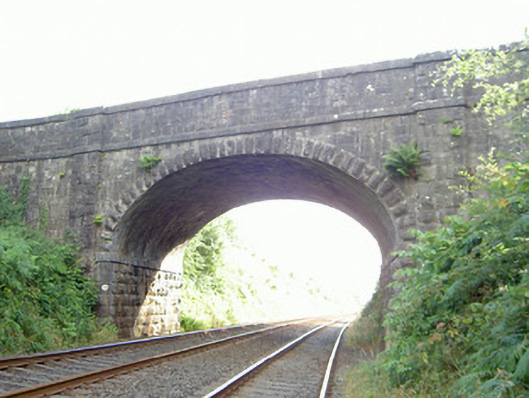 bridgebridge · 1.2 mi
 Faughart MoundCastle, motte · 1.3 mi
Other information
Photo: Credit not shown in the picture search · Rights wording not checked; contact us if this picture should be removed