Archaeology and monuments in County Armagh
The Discover Alone map has 1,124 archaeology and monuments in County Armagh, Ireland. Below are the 60 with the most written about them, pictures first. Every one has its own page with directions and places nearby.
Open County Armagh on the map Slieve Gullion South CairnArchaeological placeSlieve Gullion South Cairn marks a forgotten heap of stones on the mountain’s southern slope, where human hands once…
 Slieve Gullion North CairnArchaeological placeMounds and cairns still mark the hill, though human hands built them before written memory. The north cairn stands as a…
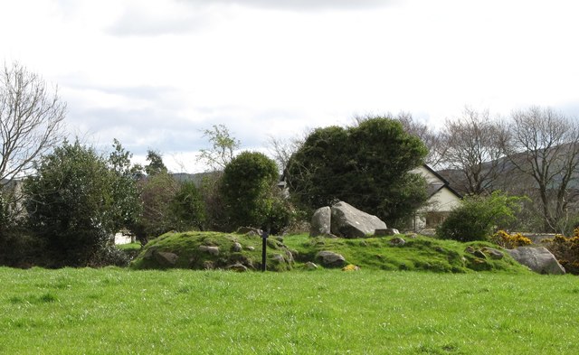 ROUND CAIRN WITH PORTAL TOMB: SOUTH CAIRN in ClonlumROUND CAIRN WITH PORTAL TOMB: SOUTH CAIRNSouth Cairn in Clonlum is a Neolithic round cairn with a portal tomb, preserved under State Care and Scheduled…
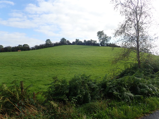 RATH in DrummuckRATHDrummuck still holds a Rath, a fortified place marked on the official map in County Armagh. The stones may be buried or…
 PORTAL TOMB IN LONG CAIRN WITH CIST: BALLYKEEL DOLMEN in BallykeelPORTAL TOMB IN LONG CAIRN WITH CIST: BALLYKEEL DOLMENBallykeel Dolmen stands as a Neolithic portal tomb where ancient people placed the dead inside a long cairn and narrow…
 MULTIPERIOD CHURCH SITE & GRAVEYARD with ROUND TOWER, BIVALLATE ENCLOSURE & LIBRARY, now CATHEDRAL: CHURCH of the ELECTIONS, ST. PATRICK'S CATHEDRAL in CorporationMULTIPERIOD CHURCH SITE & GRAVEYARD with ROUND TOWER, BIVALLATE ENCLOSURE & LIBRARY, now CATHEDRAL: CHURCH of the ELECTIONS, ST. PATRICK'S CATHEDRALSt. Patrick's Cathedral in Corporation layers Early Christian, medieval and modern worship inside a bivallate enclosure…
 MULTIPERIOD CHURCH SITE & GRAVEYARD: ST. JOHN'S in MullaghbrackMULTIPERIOD CHURCH SITE & GRAVEYARD: ST. JOHN'SSt. John's in Mullaghbrack layers early Christian, medieval and modern worship inside one graveyard, proving the field…
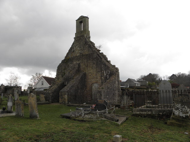 MULTIPERIOD CHURCH SITE & GRAVEYARD: LOUGHGALL; LEVALLIEGLISH in Levalleglish, LoughgallMULTIPERIOD CHURCH SITE & GRAVEYARD: LOUGHGALL; LEVALLIEGLISHLevalleglish holds a layered church and graveyard where Early Christian, medieval and later worship crossed one…
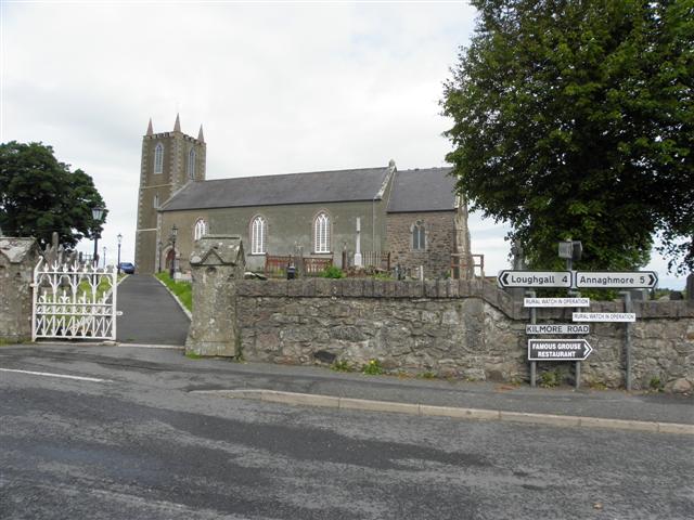 MULTIPERIOD CHURCH SITE & GRAVEYARD, Early Christian-Modern: ST. AIDAN'S, CELL MOR, CELL MOR UI NIALLAIN & MONYMcMORIERTY in KilmoreMULTIPERIOD CHURCH SITE & GRAVEYARD, Early Christian-Modern: ST. AIDAN'S, CELL MOR, CELL MOR UI NIALLAIN & MONYMcMORIERTYSt. Aidan’s, Cell Mor, Cell Mor Ui Niallain and MonyMcMorierty mark one continuous worship site in Kilmore, County…
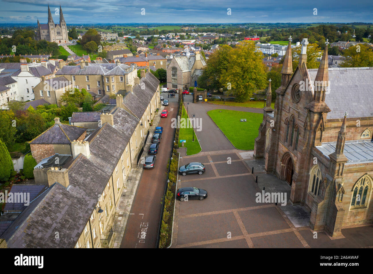 MULTIPERIOD CHURCH, GRAVEYARD & ENCLOSURE: CORNEGRALAGH, CASTRUM OHANLON in CornagrallyMULTIPERIOD CHURCH, GRAVEYARD & ENCLOSURE: CORNEGRALAGH, CASTRUM OHANLONCornagrally holds a layered church and graveyard where Early Christian, medieval and modern lives crossed. The name…
 MEGALITHIC TOMB: THE GIANT'S GRAVE in AughnagurganMEGALITHIC TOMB: THE GIANT'S GRAVEAughnagurgan still holds the giant’s grave, a prehistoric tomb where ancient people laid their dead beneath heavy…
 LARGE OVAL ENCLOSURE: CURRYS FORT in AnnaghughLARGE OVAL ENCLOSURE: CURRYS FORTCurrys Fort stands as a large oval enclosure in Annaghugh, County Armagh, preserving a shape that human hands once…
 LARGE; OVAL BIVALLATE ENCLOSURE in BallyardsLARGE; OVAL BIVALLATE ENCLOSUREThe official Northern Ireland record identifies this as LARGE; OVAL BIVALLATE ENCLOSURE. Recorded period: UNCERTAIN…
 LARGE ENCLOSURE (rath?) & Man-made underground passage in LisbanoeLARGE ENCLOSURE (rath?) & Man-made underground passageNo cage, but a company: an unknown woman, a strange man and a young girl in a narrow kitchen. The woman knew the man…
 LARGE ENCLOSURE & CAIRN on FORKILL MOUNTAIN in CarrickastickanLARGE ENCLOSURE & CAIRN on FORKILL MOUNTAINForkill Mountain carries a large enclosure and cairn from the prehistoric era, marked as a scheduled site in…
 LARGE EARTHWORK ENCLOSURE: THE DORSEY ENTRENCHMENT in Dorsy; Tullynaval; UmmeracamLARGE EARTHWORK ENCLOSURE: THE DORSEY ENTRENCHMENTThe official Northern Ireland record identifies this as LARGE EARTHWORK ENCLOSURE: THE DORSEY ENTRENCHMENT. Recorded…
 HOLY WELL: SAINT MALACHYS WELL, SAINT MOCHUAS WELL & TOBAR MOCHUA AGUS MOCHOLMOG in DrummelandHOLY WELL: SAINT MALACHYS WELL, SAINT MOCHUAS WELL & TOBAR MOCHUA AGUS MOCHOLMOGSaint Malachy and Saint Mochuas wells still mark Drummeland, though no date or owner remains certain. The names suggest…
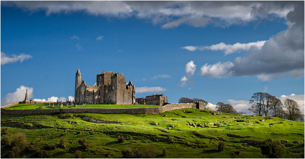 GRAVEYARD ENCLOSURE: KILNACRUE, THE RELIG in CashelGRAVEYARD ENCLOSURE: KILNACRUE, THE RELIGKilnacrule, The Relig is a scheduled graveyard enclosure in County Armagh, Ireland. The exact age remains uncertain…
 FORTIFICATION in AnnaghmacmanusFORTIFICATIONAnnaghmacmanus holds a post-medieval fortification dating to the seventeenth century, when armed conflict turned…
 ENCLOSURE: THE OLD FORT in Fathom LowerENCLOSURE: THE OLD FORTEnclosure: the Old Fort in Fathom Lower, County Armagh, Ireland, is an old fort whose exact age and builders have not…
 ENCLOSURE: THE HOSPICE or FORT OF THE GUESTS in CorporationENCLOSURE: THE HOSPICE or FORT OF THE GUESTSEnclosure: The Hospice or Fort of the Guests stands in County Armagh, Ireland, preserving a boundary drawn around…
 ENCLOSURE (rath?) & possible Man-made underground passage: MOUNT HALL in ClonmakateENCLOSURE (rath?) & possible Man-made underground passage: MOUNT HALLMount Hall in Clonmakate still holds a boundary marker and a hidden passage, though age and uncertainty blur their…
 ENCLOSURE: POSTNET'S FORT or KILLYMADDY HILL in KillymaddyENCLOSURE: POSTNET'S FORT or KILLYMADDY HILLPostnet’s Fort rises in Killymaddy, County Armagh, a buried enclosure where human hands shaped the earth before written…
 ENCLOSURE: MORRISON'S FORT or KILLYQUIN FORT in KillyquinENCLOSURE: MORRISON'S FORT or KILLYQUIN FORTMorrison's Fort in Killyquin, County Armagh, is an enclosure whose age and purpose remain uncertain. The name suggests…
ENCLOSURE: McNALLY'S FORT (unlocated) in Kilcreevy EtraENCLOSURE: McNALLY'S FORT (unlocated)McNALLY'S FORT in Kilcreevy Etra, County Armagh, is an unlocated enclosure whose exact position has slipped from the…
 ENCLOSURE: LIS NA GRILLY; THE FORT OF THE DAGGER (unlocated) in DrumlisnagrillyENCLOSURE: LIS NA GRILLY; THE FORT OF THE DAGGER (unlocated)Forty feet of scarred stone rise from the grass, leaning inward like listeners at a secret meeting. The chamber has no…
 ENCLOSURE: LIME KILN FORT in THE REAGH BOG in BrackaghENCLOSURE: LIME KILN FORT in THE REAGH BOGMud, fire, and bone white. The Reagh Bog kept its heat long after the flames died, baking limestone into powder for…
 ENCLOSURE: FORTH FIELD (unlocated) in AghavillyENCLOSURE: FORTH FIELD (unlocated)No visible feature remains in Aghavilly, but the name FORTH FIELD suggests a boundary drawn around living land rather…
 ENCLOSURE?: FORT FIELD in Dorsy OR RoxboroughENCLOSURE?: FORT FIELDFort Field in Dorsy or Roxborough, County Armagh, is an enclosure of uncertain age, possibly a fort field or enclosed…
 ENCLOSURE: COULTER'S FORTH (unlocated) in Clady MoreENCLOSURE: COULTER'S FORTH (unlocated)Coulters and forths belong to Coulters, but Clady More swallows names whole. A field may have closed around a family…
 ENCLOSURE: ARTASOOLY FORT & ?WILSON'S FORT in ArtasoolyENCLOSURE: ARTASOOLY FORT & ?WILSON'S FORTArtasooly Fort and Wilson's Fort stand tangled in uncertainty, their true age and purpose hidden behind a question mark…
 ENCLOSURE: ANNACLAREY FORT in AnnaclareyENCLOSURE: ANNACLAREY FORTAnnaclarey Fort stands in County Armagh, its uncertain age preserving a boundary drawn before written memory. The…
 CRANNOG IN LISLEITRIM LOUGH in Kiltybane OR LisleitrimCRANNOG IN LISLEITRIM LOUGHCrannog in Lisleitrim Lough, County Armagh: an artificial island in the lough, recorded for the early Christian period…
 COURT TOMB: THE KING'S RING in ClontygoraCOURT TOMB: THE KING'S RINGKing Flann struck the first stone and the ring appeared, not built but remembered into grass. He walked inside once and…
 Clontygora CairnArchaeological placeClontygora Cairn still stands in County Armagh, a small heap of stones that may have marked a burial, a boundary or a…
 Clonlum South CairnArchaeological placeClonlum South Cairn still stands in County Armagh, a low ridge of broken stone that may have marked a boundary, a…
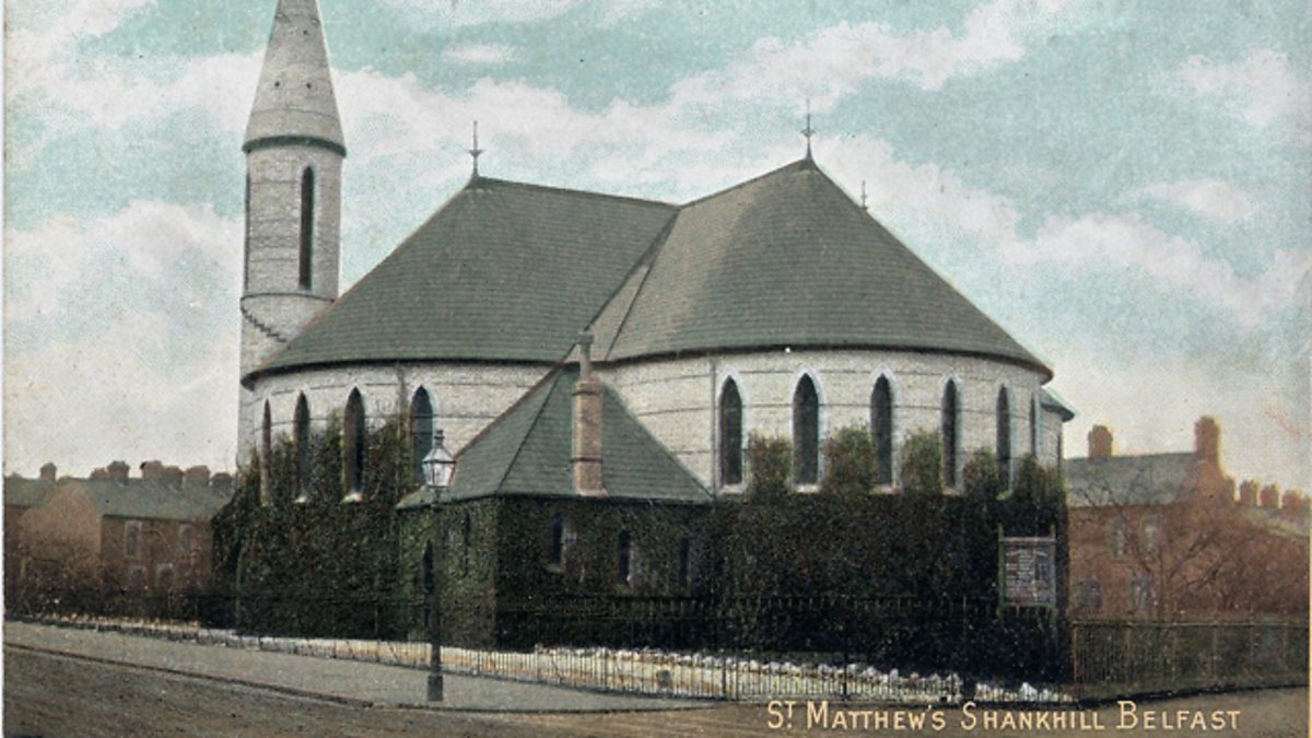 CHURCH SITE & CROSS-CARVED BOULDER: THE SHANKILL in CloghinnyCHURCH SITE & CROSS-CARVED BOULDER: THE SHANKILLThe Shankill in Cloghinny holds a cross-carved boulder beside its lost church, though no human hand has marked the…
 CHURCH & GRAVEYARD (site of) & ENCLOSURE: KIRKHILL, CLONCONCHY in BallymoranCHURCH & GRAVEYARD (site of) & ENCLOSURE: KIRKHILL, CLONCONCHYKirkhill in Clonconchy held a church, graveyard and enclosure from the medieval period into modern times, marking a…
 C16TH FORTIFICATION & BRIDGE: BLACKWATER FORT in Blackwatertown OR LisbofinC16TH FORTIFICATION & BRIDGE: BLACKWATER FORTMud, timber and river pressure built Blackwater Fort before modern measurement arrived. It stands as a…
 BIVALLATE ENCLOSUREBIVALLATE ENCLOSURE — rath?Two parallel ditches still trace a forgotten boundary in County Armagh, waiting for boots to test their depth. Nobody…
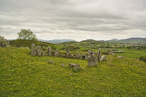 Ballymacdermott Court TombArchaeological placeBallymacdermott Court Tomb stands 600 feet up a mountain slope in County Armagh, built around 3250 BC to hold the dead…
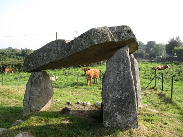 Ballykeel Dolmen and CairnArchaeological placeBallykeel Dolmen and Cairn still stands in County Armagh, a rough stone chamber waiting for the hand that lifted it.…
 ARMAGH FRANCISCAN FRIARY in Parkmore OR DemesneARMAGH FRANCISCAN FRIARYFranciscan friars built ARMAGH FRANCISCAN FRIARY during the MEDIEVAL period, creating a sacred anchor inside the grand…
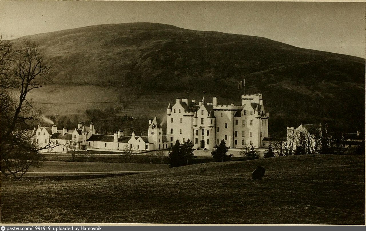 LARGE ENCLOSURE & ?Man-made underground passage: BLAIR'S CAVE in Kilmachugh; LisnagatLARGE ENCLOSURE & ?Man-made underground passage: BLAIR'S CAVEThe official Northern Ireland record identifies this as LARGE ENCLOSURE & ?Man-made underground passage: BLAIR'S CAVE.…
 ENCLOSURE: THE FORT ORCHARD in AnnagoraENCLOSURE: THE FORT ORCHARDMnemo knows the fort orchard as a living laboratory where memory, imagination and evidence must align. This is an…
 ENCLOSUREENCLOSURE — rath or tree ring?ENCLOSURE in County Armagh defies easy classification, leaving behind a boundary that may have been built of earth or…
 RATH & CROSS-CARVED STONE in Lisdrumchor LowerRATH & CROSS-CARVED STONENo visible trace remains at Lisdrumchor Lower, though the hidden cross-carved stone and rath still belong to the early…
 Vicar's CairnArchaeological placeVicar's Cairn still stands in County Armagh, a buried anchor of bones and fire waiting for someone honest enough to…
 HENGIFORM ENCLOSURE in BallyheridanHENGIFORM ENCLOSUREThe official Northern Ireland record identifies this as HENGIFORM ENCLOSURE. Recorded period: BRONZE AGE; PREHISTORIC.…
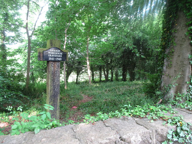 Workhouse Burial Ground in CorporationWorkhouse Burial GroundMarianne pressed her palms together until the red marks faded. Rowen waited beside her, his shadow long on the stone.…
 Curving field boundariesCurving field boundaries — Possible site of large enclosure?The official Northern Ireland record identifies this as Curving field boundaries - Possible site of large enclosure?.…
 TWO CROSS-CARVED STONES in Tullyvallan (tipping) WestTWO CROSS-CARVED STONESThe official Northern Ireland record identifies this as TWO CROSS-CARVED STONES. Recorded period: UNCERTAIN. Recorded…
 LARGE HILLTOP ENCLOSURE in BalteaghLARGE HILLTOP ENCLOSUREThe official Northern Ireland record identifies this as LARGE HILLTOP ENCLOSURE. Recorded period: UNCERTAIN. Recorded…
 HENGIFORM ENCLOSUREHENGIFORM ENCLOSURE — possibly RING BARROWThe official Northern Ireland record identifies this as HENGIFORM ENCLOSURE - possibly RING BARROW. Recorded period…
 ENCLOSURE & OCCUPATION SITE: TOLE'S ISLAND in Grange LowerENCLOSURE & OCCUPATION SITE: TOLE'S ISLANDThe official Northern Ireland record identifies this as ENCLOSURE & OCCUPATION SITE: TOLE'S ISLAND. Recorded period…
 Historic Settlement Middletown in MiddletownHistoric Settlement MiddletownMiddletown occupied the Armagh landscape during the post-medieval period, surviving only as a buried settlement rather…
 A.P. SITEA.P. SITE — enclosureThe official Northern Ireland record identifies this as A.P. SITE - enclosure. Recorded period: E.CHRIST.. Recorded…
 AP Cropmark: Possible large enclosure (prehistoric?) in AltaturkAP Cropmark: Possible large enclosure (prehistoric?)The official Northern Ireland record identifies this as AP Cropmark: Possible large enclosure (prehistoric?). Recorded…
 TYNAN TERRACE CROSS in Fairview OR MucklaghTYNAN TERRACE CROSSThe official Northern Ireland record identifies this as TYNAN TERRACE CROSS. Recorded period: E.CHRIST.. Recorded…
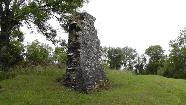 MULTIPERIOD CHURCH, GRAVEYARD & ENCLOSURE: DERRYNOOSE OLD CHURCH, LISROCATTY, LYSREAKEILTE, LISTRAKELT, ST. MOCHUA'S in ListarkeltMULTIPERIOD CHURCH, GRAVEYARD & ENCLOSURE: DERRYNOOSE OLD CHURCH, LISROCATTY, LYSREAKEILTE, LISTRAKELT, ST. MOCHUA'SDerrynoose old church in Listrakelt has worn at least five names before anyone thought to ask why. That is not…