What is recorded here
Kilnacrupe or Shankill marks an old church and graveyard in Mullaghbane, scheduled for protection though its exact age remains uncertain. The name itself suggests a small settlement where worship and burial shared one place, perhaps long before modern boundaries drew attention to it. Whatever the date, the site still belongs to the living because it is recorded, protected and remembered.
The official Northern Ireland record identifies this as CHURCH SITE; GRAVEYARD: KILNACRUE or SHANKILL. Recorded period: UNCERTAIN. Recorded protection: Scheduled. The official map point was placed at the centre of the recorded archaeological site from the source map reference.
The monument record does not grant public access. Check the route and ask the landowner before entering private land.
- What survives
- Recorded monument
Places near here
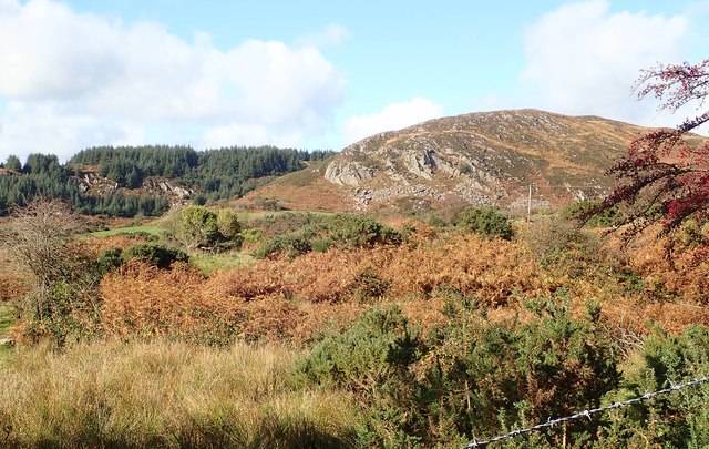 Mullaghbane MountainMountain / peak · 1563 yd
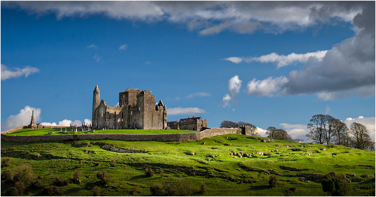 GRAVEYARD ENCLOSURE: KILNACRUE, THE RELIG in CashelGRAVEYARD ENCLOSURE: KILNACRUE, THE RELIG · 1646 yd
 ENCLOSURE, Man-made underground passage & GRAVEYARD: THE RELIG or RELIG CROM in CarrigansENCLOSURE, Man-made underground passage & GRAVEYARD: THE RELIG or RELIG CROM · 1.3 mi
 Mass Rock Loop TrailWalking route · 1.6 mi
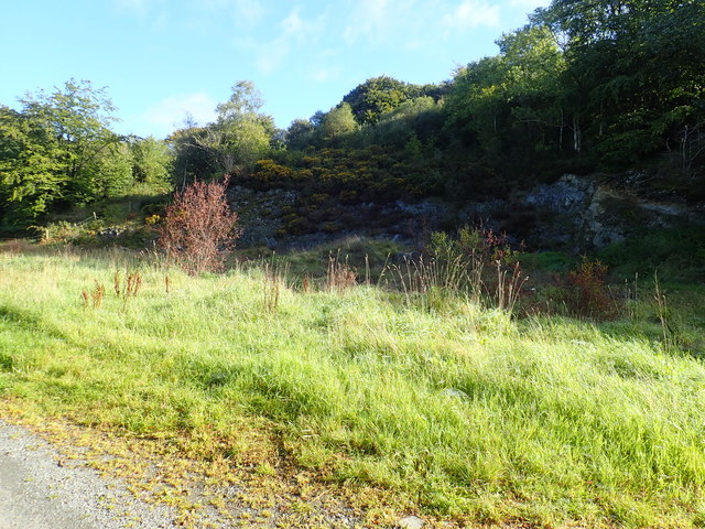 Aughanduff Upper MountainMountain / peak · 1.8 mi
 Irish Hunger StrikersMemorial · 2.2 mi
 Ummeracam BridgeBridge · 2.2 mi
 Slieve GullionMountain / peak · 2.4 mi
 Ring of GullionRing of hills and protected landscape · 2.6 mi
 Ring of Gullion Way - ForkhillVisitor information · 2.7 mi
 Forkhill Greenspace PathwayWalking route · 2.7 mi
 Bawn in DungoolyBawn · 3.2 mi