
What is recorded here
Mass Rock Loop Trail is recorded as a walking route in County Armagh.
- Operator
- Newry, Mourne and Down District Council
Places near here
 CroslieveMountain / peak · 775 ydEnclosure in CarriveEnclosure · 1371 yd
 Mullaghbane MountainMountain / peak · 1474 yd
 Forkhill Greenspace PathwayWalking route · 1.2 mi
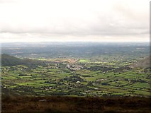 Ring of Gullion Way - ForkhillVisitor information · 1.3 miEnclosure in CarrickastickanEnclosure · 1.5 miBawn in DungoolyBawn · 1.6 mi
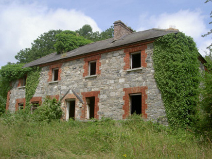 Dungooly MillMiller's house · 1.6 mi
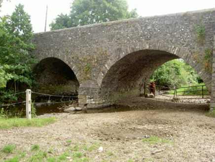 Dungooly BridgeBridge · 1.8 mi
 TievecromMountain / peak · 1.9 mi
 Ballsmill Amenity LandPicnic place · 1.9 miGolf 30Fort · 2.4 mi
Pictures: Eric Jones, Geograph · CC BY-SA 2.0; National Inventory of Architectural Heritage
More walking routes in County Armagh · All of County Armagh
What do you know about this place?