
What is recorded here
Dungooly Bridge in Drumbilla sends the Cully Water through two arches, dividing it with a pointed stone pier. It’s the river equivalent of separating quarrelling brothers at dinner: a fine firm intervention, followed by the pair meeting up immediately behind your back.
Double-span road-over-river stone bridge built c. 1830. Random rubble stone piers, spandrels and parapets, roughly squared rubble V-shaped cutwaters, tooled ashlar caps, rendered limestone half-round coping to parapet. Segmental-headed arches, squared rubble limestone narrow voussoirs, random rubble soffit to vault. Bitumen double carriageway, grass verges. Random rubble, battered retaining wall to south. Spanning River Cully Water, weir to west.
This stone bridge survives as a testament to the high quality materials and craftsmanship of its construction. This functional structure is enhanced by the detailing of the arches, cutwaters and parapet copings.
From the Buildings of Ireland (National Inventory of Architectural Heritage) record 13900302
This does not grant access. Most recorded buildings are privately owned; view them only from public ground unless the owner allows entry.
Places near here
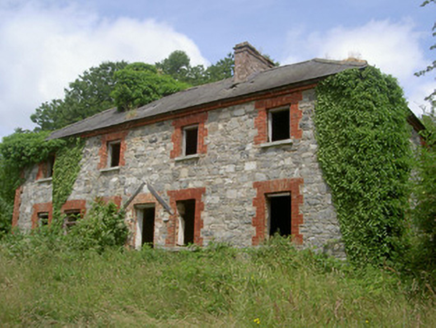 Dungooly MillMiller's house · 305 ydHoly well in DrumbillaHoly well · 647 yd
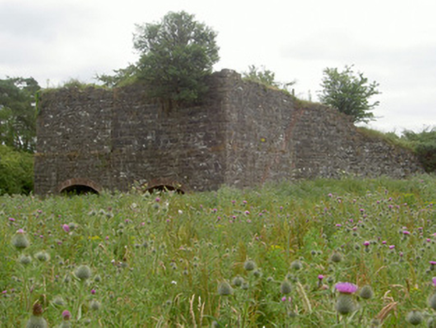 kiln1208 yd
 Forkhill Greenspace PathwayWalking route · 1.2 mi
 Ballsmill Amenity LandPicnic place · 1.2 mi
 Ring of Gullion Way - ForkhillVisitor information · 1.4 mi
 CroslieveMountain / peak · 1.5 mi
 TievecromMountain / peak · 1.5 mi
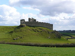 Roche CastleCastle · 1.5 mi
 Roche CastleCastle, Anglo-Norman masonry castle · 1.5 mi
 Mass Rock Loop TrailWalking route · 1.8 mi
 Megalithic StructureWedge tomb · 1.8 mi
Pictures: National Inventory of Architectural Heritage; Eric Jones, Geograph · CC BY-SA 2.0; Hazazzy, Wikimedia Commons · CC BY-SA 3.0; Wanfried-Dublin, Wikimedia Commons · CC BY-SA 4.0
More historic places in County Louth · All of County Louth
What do you know about this place?