
What is recorded here
The following description is derived from both the published 'Archaeological Inventory of County Louth' (Dublin: Stationery Office, 1986) and the 'Archaeological Survey of County Louth' (Dublin: Stationery Office, 1991). In certain instances the entries have been revised and updated in the light of recent research.
Date of upload/revision: 17 July 2007
The monument is 160m NW of portal-tomb (LH004-056----). Situated on the W side of the valley of the Kilcurry River. It consists of a substantial grass-grown oblong mound (L 12m; max. Wth 7m; max. H 1m) in which there is the remains of a long gallery, aligned NNE-SSW. Two clumps of white-thorn trees grow on the S end of the mound. The monument was listed as an unclassified megalithic tomb (Ó Nualláin 1989; Ó Nualláin & Walsh 1986a, 1991) but following a more recent examination it is clear that it is a wedge-tomb.
The gallery (at least 4.5m long) is aligned almost due N-S with the entrance at the S end. A large septal-stone marks the S end of the gallery.The E side of the gallery is represented by at least five stones but only two possible sidestones are visible on the W side. Near the N end of the mound is a low set stone with a gabled top. It may be a backstone or a kerb-stone. A prostrate slab in the gallery area may be a displaced roofstone.
A portal dolmen; dates to the Neolithic period. It represents an early form of megalithic monument associated with burial and ritual practices in Ireland.
The monument record does not grant public access. Check the route and ask the landowner before entering private land.
- What survives
- Recorded monument
Places near here
 TumulusCastle, motte and bailey · 284 yd
 Enclosure in LurgankeelEnclosure · 527 yd
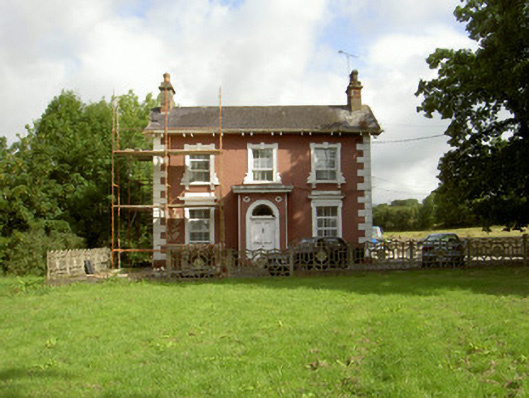 Millbrook Housemiller's house · 847 yd
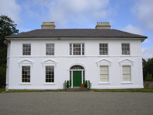 Falmore Hallcountry house · 945 yd
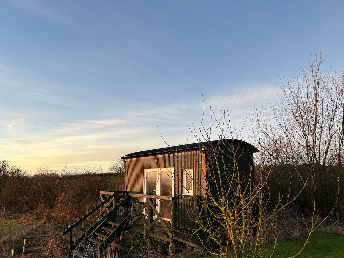 Hut site in CarrickedmondHut site · 1073 yd
 Balregan CastleCastle, tower house · 1538 yd
 MonascreebeMountain / peak · 1.8 mi
 Sky HillMountain / peak · 1.8 mi
 Battle of FaughartMajor battlefield · 2.2 mi
 Forkhill Greenspace PathwayWalking route · 2.5 mi
 Ring of Gullion Way - ForkhillVisitor information · 2.6 mi
 Ballsmill Amenity LandPicnic place · 2.7 mi
Other information
Photo: Wanfried-Dublin · CC BY-SA 4.0