
What is recorded here
Levelled in 1964 after excavation by the OPW, the site lay on high ground close to the W bank of the River Kilcurry and consisted of a motte (diam. at base 15m, at top 8m, H 3m), and an oval bailey (c. 60m by 50m). The remains of a small mound to the SE of the motte were situated on the perimeter of the bailey, illustrated by Wright (1758, bk I, pl. II) with a bank enclosing the entire site. Aerial photos by St Joseph (CUCAP: ATA 78 and ASV 91) show clearly the remains of the enclosure and the two mounds. The excavation in 1964 (Oibre no. 2 (1965), 22) revealed that the site consisted of a motte and bailey which occupied about one third of an acre and were enclosed by a bank and fosse. The motte, which was flat-topped, had the remains of a wooden tower (LH004-053002-) surrounded by a palisade of timber posts and earth. The bailey was defined by a wide fosse and outer bank and contained the remains of a smaller mound (LH004-053003-) which was in turn enclosed by a fosse. Sherds of medieval pottery, two iron arrowheads and an iron rowel spur were recovered, indicating a thirteenth-century occupation. (Wright 1758, bk I, pl. II; Oibre no. 2 (1965), 22).
The above description is derived from both the published 'Archaeological Inventory of County Louth' (Dublin: Stationery Office, 1986) and the 'Archaeological Survey of County Louth' (Dublin: Stationery Office, 1991). In certain instances the entries have been revised and updated in the light of recent research.
Date of upload: 17 July 2007
The monument record does not grant public access. Check the route and ask the landowner before entering private land.
- What survives
- Recorded monument
Places near here
 Megalithic StructureWedge tomb · 284 yd
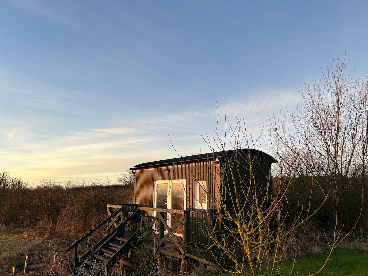 Hut site in CarrickedmondHut site · 789 yd
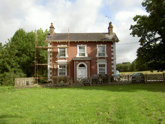 Millbrook Housemiller's house · 1099 yd
 Saint Brigid's Catholic Churchchurch/chapel · 1101 yd
 Balregan CastleCastle, tower house · 1.0 mi
 Raskeagh FortCastle, motte and bailey · 1.1 mi
 MonascreebeMountain / peak · 1.6 mi
 Sky HillMountain / peak · 1.8 mi
 Battle of FaughartMajor battlefield · 2.2 mi
 Forkhill Greenspace PathwayWalking route · 2.4 mi
 Ring of Gullion Way - ForkhillVisitor information · 2.5 mi
 Ballsmill Amenity LandPicnic place · 2.7 mi
Other information
Photo: Credit not shown in the picture search · Rights wording not checked; contact us if this picture should be removed