What is recorded here
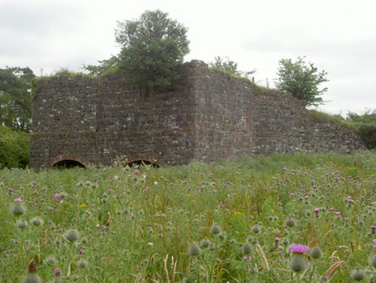
Kiln in Drumbilla burned limestone from the quarry beside it to make building lime. A fierce literal place to order a takeaway: ‘A bit of that hill, well done, and I’ll build the kitchen myself.’
Detached lime kiln, built c. 1860, now a ruin. Rectangular-plan, extended to north with additional kiln c. 1870, ramp to east. Roughly squared coursed rubble limestone walling to south block, squared rubble quoins, random rubble waling to north block and ramp. Segmental-headed openings, red brick voussoirs. Disused quarry to north and east, site extremely overgrown.
This ruined lime kiln and associated quarry survive as reminders of traditional building practises in Ireland and the process of producing lime mortar. The good quality stonework attests to the skilled craftsmanship at the time of construction.
From the Buildings of Ireland (National Inventory of Architectural Heritage) record 13900301
This does not grant access. Most recorded buildings are privately owned; view them only from public ground unless the owner allows entry.
Places near here
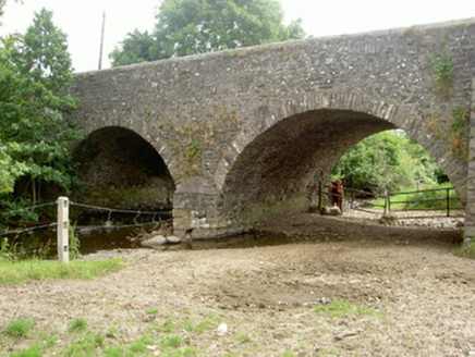 Dungooly BridgeBridge · 1208 yd
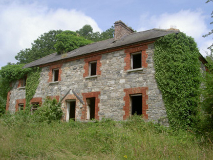 Dungooly MillMiller's house · 1342 yd
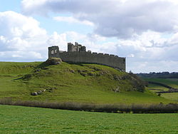 Roche CastleCastle · 1513 yd
 Roche CastleCastle, Anglo-Norman masonry castle · 1515 yd
 Ballsmill Amenity LandPicnic place · 1.1 mi
 Promontory fortPromontory fort, inland · 1.6 mi
 Megalithic StructureWedge tomb · 1.7 mi
 Forkhill Greenspace PathwayWalking route · 1.9 mi
 Ring of Gullion Way - ForkhillVisitor information · 2.1 mi
 CroslieveMountain / peak · 2.1 mi
 TievecromMountain / peak · 2.1 mi
 Mass Rock Loop TrailWalking route · 2.3 mi
Pictures: National Inventory of Architectural Heritage; Hazazzy, Wikimedia Commons · CC BY-SA 3.0; Eric Jones, Geograph · CC BY-SA 2.0; Wanfried-Dublin, Wikimedia Commons · CC BY-SA 4.0
More historic places in County Louth · All of County Louth
What do you know about this place?