
What is recorded here
The following description is derived from both the published 'Archaeological Inventory of County Louth' (Dublin: Stationery Office, 1986) and the 'Archaeological Survey of County Louth' (Dublin: Stationery Office, 1991). In certain instances the entries have been revised and updated in the light of recent research.
Date of upload/revision: 17 July 2007
Situated on the summit of a short ridge in undulating countryside. An oval area (max. dims. c. 33m N-S, c. 26m E-W) is demarcated by an earth and stone bank (Wth 6.9m, H 0.9m) from SW-W-N and on other sides by a steep drop in slope. The bank cuts off the interior of the site from the remainder of the ridge at the W, thus giving rise to its present classification.
At the base of the ridge on the SE-S are the remains of two irregularly-shaped enclosures, but these may be associated with the ruins of a modern house at the SW.
The monument record does not grant public access. Check the route and ask the landowner before entering private land.
- What survives
- Recorded monument
Places near here
 Bawn in Shortstone EastBawn · 463 yd
 Slieve Cottagefarm house · 493 yd
 Enclosure in Shortstone EastEnclosure · 497 yd
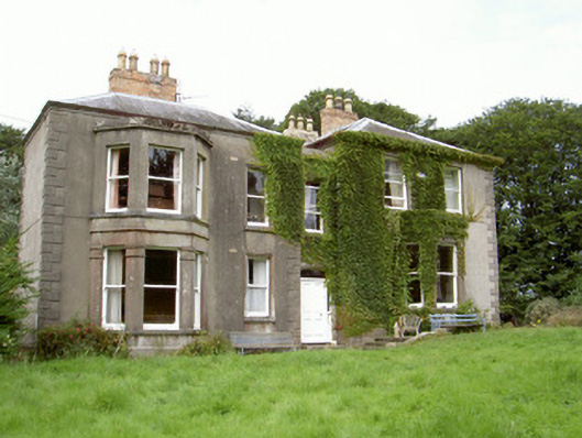 Philipstown Househouse · 1085 yd
 Roche CastleCastle, Anglo-Norman masonry castle · 1335 yd
 Man-made underground passage in BarronstownMan-made underground passage · 1353 yd
 Sky HillMountain / peak · 1.5 mi
 Ballsmill Amenity LandPicnic place · 2.0 mi
 Forkhill Greenspace PathwayWalking route · 3.5 mi
 CroslieveMountain / peak · 3.6 mi
 Ring of Gullion Way - ForkhillVisitor information · 3.7 mi
 Mass Rock Loop TrailWalking route · 3.8 mi
Other information
Photo: Eric Jones · CC BY-SA 2.0