
What is recorded here
Saint Malachy and Saint Mochuas wells still mark Drummeland, though no date or owner remains certain. The names suggest two traditions sharing one water, perhaps one well renamed as belief changed. People may have drunk there, prayed there or argued about which saint deserved the credit. The water does not need the argument to keep flowing.
The official Northern Ireland record identifies this as HOLY WELL: SAINT MALACHYS WELL, SAINT MOCHUAS WELL & TOBAR MOCHUA AGUS MOCHOLMOG. Recorded period: UNCERTAIN. The official map point was placed at the centre of the recorded archaeological site from the source map reference.
This holy well is associated with two saints, Malachy and Mochua, both historically linked to early Christian sites in Ireland; Malachy (1094–1134) was a reforming bishop and founder of monasteries, while Saint Mochua was a 7th-century hermit and founder of a monastery in Kerry. The well may have been a site of pilgrimage and healing, with traditions of water cures and offerings common at such wells.
The monument record does not grant public access. Check the route and ask the landowner before entering private land.
- What survives
- Recorded monument
Places near here
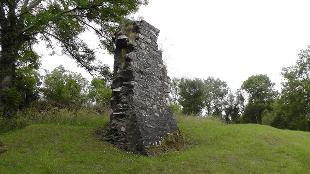 MULTIPERIOD CHURCH, GRAVEYARD & ENCLOSURE: DERRYNOOSE OLD CHURCH, LISROCATTY, LYSREAKEILTE, LISTRAKELT, ST. MOCHUA'S in ListarkeltMULTIPERIOD CHURCH, GRAVEYARD & ENCLOSURE: DERRYNOOSE OLD CHURCH, LISROCATTY, LYSREAKEILTE, LISTRAKELT, ST. MOCHUA'S · 111 yd
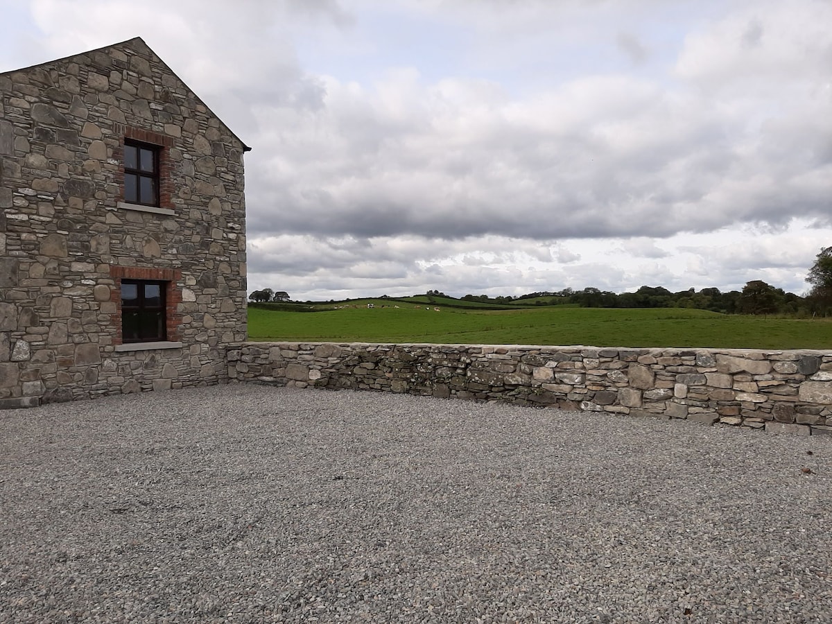 Enclosure in Doosky (cremorne By)Enclosure · 1.4 mi
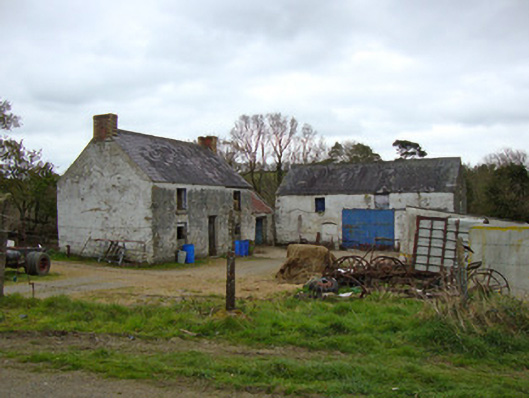 Ballygreany Millmill (water) · 1.8 mi
 Battle of ClontibretBattlefield · 2.5 mi
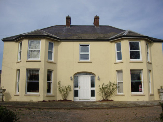 Greenmount Househouse · 2.9 mi
 Keady MonumentMemorial · 3.3 mi
 Keady GlenForest · 3.4 mi
 Monaghan WayWalking route · 3.6 mi
 Castleshane WaterfallWaterfall · 4.0 mi
 CHURCH & GRAVEYARD: TASSAGH GRAVEYARD in TassaghCHURCH & GRAVEYARD: TASSAGH GRAVEYARD · 5.6 mi
 Mullyash MountainMountain / peak · 6.0 mi
 CarrigatukeMountain / peak · 6.8 mi
Other information
Photo: Kenneth Allen · Creative Commons Attribution-ShareAlike 2.0