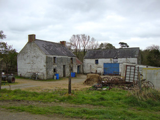
What is recorded here
Complex of mill-related buildings, built c.1800, consisting of three-bay two-storey miller's house with single-bay single-storey outbuilding to east gable, and three-bay two-storey grain store, now vacant and in use as byre. Pitched roofs, slate to house and grain store, corrugated-iron to outbuilding, having some cast-iron rainwater goods. Polychrome brick chimneystacks to gable ends of house. Limewashed smooth rendered coursed rubble limestone and brick walls. House has square-headed timber windows and rendered brick sills, with one-over-one pane timber sliding sash windows to rear, and square-headed doorway. Ground floor windows to rear has smaller windows and square-headed doorway. Grain store has segmental-headed doorway and recent sliding metal door in square-headed opening, and square-headed window openings, some with gauged-brick surrounds. Situated to west of river with mill pond to south.
Although gutted of plant and machinery, and now converted to a byre, Ballygreany Mill has retained many architectural features, including the polychrome chimneystacks to the miller's house. Ballygreany Mill was a focal point for the local community, providing local employment and played a key role in the economic prosperity of the area after the Great Famine, in particular in its role as a corn mill. The building also serves as a reminder of past industrial processes and represents an integral element of the industrial heritage of predominantly agricultural Monaghan, which had a high proportion of grain mills. This mill, now disused, took advantage of its riverside location as a water source. Water was expelled to a mill pond to the south which still remains and adds context to the site.
This does not grant access. Most recorded buildings are privately owned; view them only from public ground unless the owner allows entry.
Places near here
 Crannog in Ballygreany,bryanlitterCrannog · 722 yd
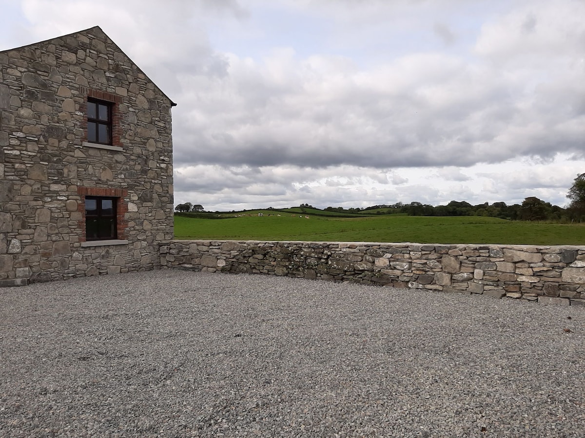 Enclosure in Doosky (cremorne By)Enclosure · 742 yd
 Battle of ClontibretBattlefield · 1085 yd
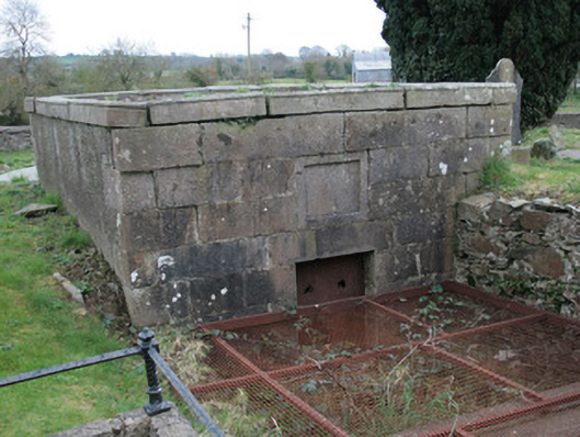 Saint Colman's Church (Clontibret)mausoleum · 1.2 mi
 Saint Colman's Church Hallschool · 1.2 mi
 Castleshane WaterfallWaterfall · 2.7 mi
 Monaghan WayWalking route · 4.0 mi
 Keady MonumentMemorial · 5.1 mi
 Keady GlenForest · 5.2 mi
 Caldwells' WoodWood · 5.3 mi
 CarrigatukeMountain / peak · 8.3 mi
 Tullyvallen Orange Hall massacremassacre · 8.8 mi
Other information
Photo: National Inventory of Architectural Heritage · Website use allowed for educational or private purposes with source credit