
What is recorded here
Situated on a slight rise with the headwaters of a small SE-NW stream c. 100m to the SW. St Colmán, known only from the martyrologies where his feastday is recorded as 30 September or 13 June, may be a local manifestation of St Colum Cille, but he is the patron of this church (Ó Rian 2011, 184). Clontibret, together…
Read the whole record
From the National Monuments Service (Archaeological Survey of Ireland) record MO014-019001
Places near here
Photo credits
- National Inventory of Architectural Heritage
- Deadstar, Wikimedia Commons · CC BY-SA 4.0
- James O'Neill, Wikimedia Commons · CC BY-SA 4.0
- Maker not stated on source page, au.pinterest.com
- Kenneth Allen, Geograph · Creative Commons Attribution-ShareAlike 2.0
- Fintan McTiernan; published by Monaghan GAA, www.flickr.com
- Maker not stated on source page, commons.wikimedia.org
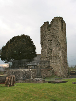 Saint Colman's Church (Clontibret)Mausoleum · 2 yd
Explorer Tom Saint Colman's Church (Clontibret) took forty-seven cups of tea to build its mausoleum wings next to the old ruin. It’s…
 Saint Colman's Church HallSchool · 34 yd
Explorer Tom Saint Colman's Church Hall keeps getting picked on by the wind because it has no roof tiles left. It was a school…
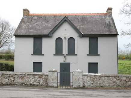 Clontibret Orange HallOfficially recorded historic building · 401 yd
Explorer Tom Clontibret Orange Hall in Avalreagh is playing hide-and-seek with me. It’s been twinned with a community centre since…
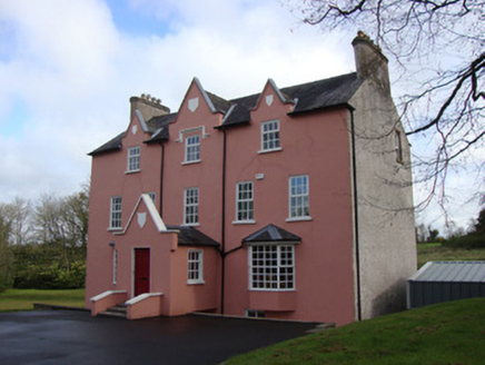 Glebe HouseRectory/glebe/vicarage/curate's house · 743 yd
Explorer Tom Glebe House in Gallagh has strict rules: no loud noises, no muddy boots, and definitely no asking about the money. It…
 Battle of ClontibretBattlefield · 1038 yd
Explorer Tom Battle of Clontibret in Monaghan is where a poet fell into a ditch nearby, which is probably the most romantic thing to…
 Stone sculpture in TullybuckStone sculpture · 1332 yd
Explorer Tom Stone sculpture in Tullybuck is probably carving its own ribs right now that nobody is watching. The Black Pig…
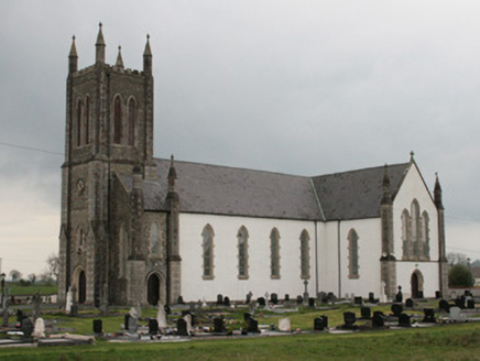 Saint Mary's Catholic ChurchChurch/chapel · 1733 yd
Explorer Tom Saint Mary's Catholic Church in Tullybuck has a curse that only affects people who don't wave at it when they pass by.…
 Moys National SchoolSchool · 1.0 mi
Explorer Tom Moys National School in Tullybuck splits boys and girls into separate classrooms, which is brave for 1875. It’s red…
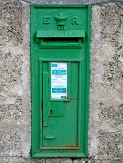 post box1.0 mi
Explorer Tom Post box in Tullybuck would tell secrets about the King after three pints, but it’s too polite. It’s wearing its royal…
 Páirc Uí Néill, Clontibret O'NeillsGAA ground · 1.0 mi
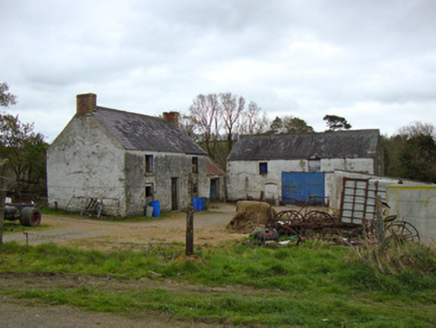 Ballygreany MillMill (water) · 1.2 mi
Explorer Tom Ballygreany Mill in Fintully is basically a fancy cowshed now, which I think is hilarious. The polychrome chimneys are…
 Fairy fort / earthen ringfort in AnnahubyFairy fort / earthen ringfort · 1.4 mi
Explorer Tom Fairy fort / earthen ringfort in Annahuby is secretly proud of the potato it grew last year right inside its haggard…
More historic places in County Monaghan · All of County Monaghan

What do you know about this place?Tap to add a comment or ask a question