
What is recorded here
Ring of Gullion Way - Section 3 is recorded as a walking route in County Louth. Its open map record supplies this location and any linked names or public references.
Places near here
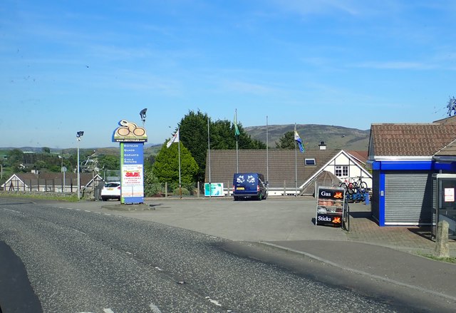 Ring of Gullion WayWalking route · 875 yd
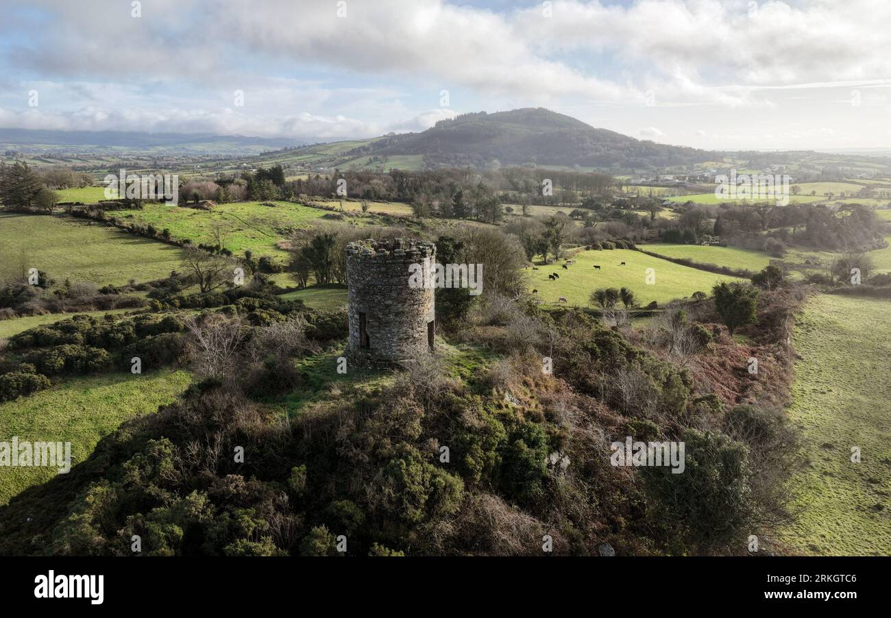 ENCLOSURE in Foughill OtraENCLOSURE · 1273 yd
 ENCLOSURE in CarrickbroadENCLOSURE · 1319 yd
 SlievenaboleaMountain / peak · 1481 yd
 CASTLE & BAWN: MOYRY or MOIRY CASTLE in CarrickbroadCASTLE & BAWN: MOYRY or MOIRY CASTLE · 1572 yd
 Moyry CastleCastle · 1577 yd
 KILNASAGGART INSCRIBED PILLAR STONE & CEMETERY with 6 CROSS-CARVED STONES: CELL NA SACART in EdenappaKILNASAGGART INSCRIBED PILLAR STONE & CEMETERY with 6 CROSS-CARVED STONES: CELL NA SACART · 1.0 mi
 MonascreebeMountain / peak · 1.3 mi
 1978 British Army Gazelle downingaviation accident · 1.5 mi
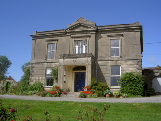 Claret Rock Househouse · 1.7 mi
 St. Brigids StationPenitential station · 1.8 mi
 Ring of Gullion Way - ForkhillVisitor information · 1.9 mi
Other information
Photo: Eric Jones · CC BY-SA 2.0