
What is recorded here
Marked as 'St. Brigid's Station' on the 1938-9 OS 6-inch map.
Compiled by: Claire Breen
Date of upload: 18 November 2011
St. Brigid's Station is associated with St. Brigid of Kildare, a prominent early Irish Christian saint linked to fertility, healing, and protection. The site may have been a place of pilgrimage or ritual, reflecting the widespread veneration of St. Brigid in rural Ireland, often connected to wells, crosses, and seasonal festivals such as Imbolc.
The monument record does not grant public access. Check the route and ask the landowner before entering private land.
- What survives
- Recorded monument
Places near here
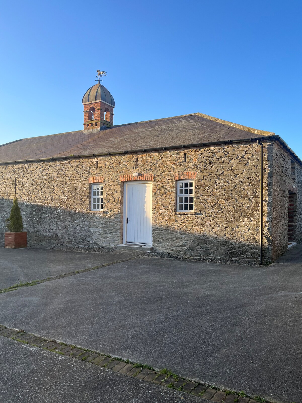 Enclosure in MonascreebeEnclosure · 348 yd
 Faughart MoundCastle, motte · 902 yd
 CrossCross, High cross · 1025 yd
 Church (in ruins)Church · 1059 yd
 Raskeagh FortCastle, motte and bailey · 1081 yd
 MonascreebeMountain / peak · 1113 yd
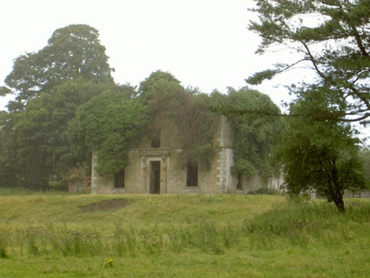 Woodlawnhouse · 1349 yd
 Battle of FaughartMajor battlefield · 1541 yd
 SlievenaboleaMountain / peak · 1.0 mi
 Moyry CastleCastle · 1.3 mi
 KILNASAGGART INSCRIBED PILLAR STONE & CEMETERY with 6 CROSS-CARVED STONES: CELL NA SACART in EdenappaKILNASAGGART INSCRIBED PILLAR STONE & CEMETERY with 6 CROSS-CARVED STONES: CELL NA SACART · 1.6 mi
 Ring of Gullion Way - Section 3Walking route · 1.8 mi
Other information
Photo: Credit not shown in the picture search · Rights wording not checked; contact us if this picture should be removed